Channel & Berth Profile
Pilotage, Tugs & Services
Pilotage compulsoryYES
Facilities & Capabilities
Container—
Ro-Ro—
Liquid bulk—
Dry bulk—
Oil terminal—
Break bulk—
Dry dock—
Repairs—
BunkeringYES
Rail link—
Dangerous cargo—
ISPS security—
Harbour Specifications
Harbour size
Very Small
Harbour type
Open Roadstead
Shelter
Poor
Water body
North Pacific Ocean
Tidal range
1.2 m
Pilotage
Yes
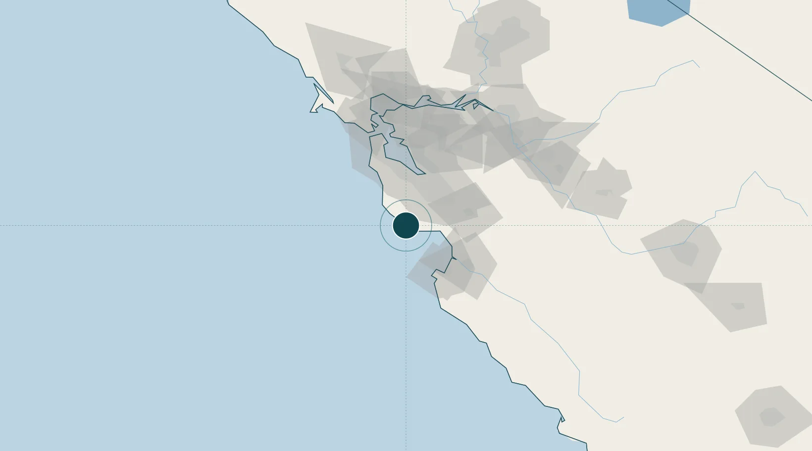
Location
Nearby Logistics Neighbours
Ports
- 1Santa Cruz17 km
- 2Moss44 km
- 3Monterey53 km
- 4Redwood City58 km
- 5Alameda86 km
Cities
- 1Felton12 km
- 2Mount Hermon12 km
- 3Capitola23 km
- 4Guadalupe34 km
- 5Corralitos36 km
Airports
Trade Zones
DatabookThe Record of Consolidated Knowledge
United States beyond logistics?