UN/LOCODE hub · United States
USGU9

Guadalupe

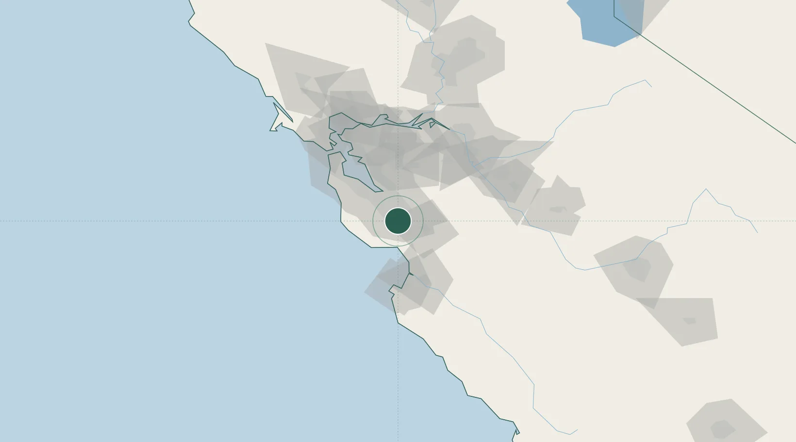
37.2000°, -121.9000°
7,318
Population
2
Transport functions

Transport Functions

Road
Multimodal
UN/LOCODE

Hub Profile

Place type
Populated place
GeoNames
Region
California
GeoNames
Population
7,318
GeoNames
Time zone
America/Los_Angeles
GeoNames
Elevation
26 m
GeoNames

Location

Location of USGU9
Natural Earth 10m (public domain) · California · USGU9 · 37.20, -121.90GoogleOSMYandex

Nearby Logistics Neighbours

Cities
  1. 1San Jose13 km
  2. 2Felton22 km
  3. 3Mount Hermon22 km
  4. 4Corralitos26 km
  5. 5Capitola26 km
Nearest neighbours — logibook spatial index (haversine) over the source coordinates
Ports
  1. 1Santa Cruz28 km
  2. 2Davenport34 km
  3. 3Redwood City46 km
  4. 4Moss46 km
  5. 5Monterey65 km
Nearest neighbours — logibook spatial index (haversine) over the source coordinates
Airports
  1. 1Norman Y. Mineta San Jose International Airport18 km
  2. 2Moffett Federal Airfield27 km
  3. 3Palo Alto Airport35 km
  4. 4San Carlos Airport47 km
  5. 5San Francisco International Airport63 km
Nearest neighbours — logibook spatial index (haversine) over the source coordinates
Trade Zones
  1. 1FTZ No. 018 San Jose15 km
  2. 2FTZ No. 056 Oakland75 km
  3. 3FTZ No. 003 San Francisco80 km
  4. 4FTZ No. 231 Stockton98 km
  5. 5FTZ No. 226 Merced, Madera and Fresno Counties126 km
Nearest neighbours — logibook spatial index (haversine) over the source coordinates
DatabookThe Record of Consolidated Knowledge
United States beyond logistics?
Browse databook

All Sources

LocationsUN/LOCODE
UN/LOCODE — free
LocationsGeoNames
CC BY 4.0
Portsthe NGA World Port Index
Public domain (US gov)
AirportsOurAirports
Public domain
Trade Zonesthe World Bank SEZ database
CC BY 4.0
Trade ZonesOpen Zone Map
CC BY
← United States locations