UN/LOCODE hub · United States
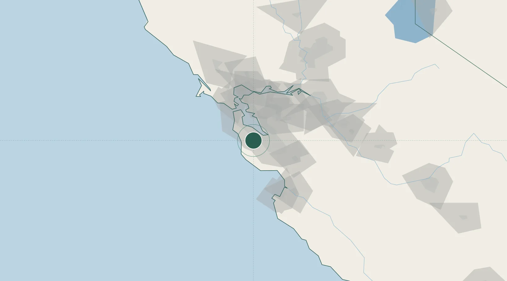
USXPT

Portola Valley

37.3833°, -122.2333°
4,594
Population
3
Transport functions

Transport Functions

Port
Road
Multimodal
UN/LOCODE

Hub Profile

Place type
Populated place
GeoNames
Region
California
GeoNames
Population
4,594
GeoNames
Time zone
America/Los_Angeles
GeoNames
Elevation
140 m
GeoNames

Location

Location of USXPT
Natural Earth 10m (public domain) · California · USXPT · 37.38, -122.23GoogleOSMYandex

Nearby Logistics Neighbours

Cities
  1. 1Woodside6 km
  2. 2Moss Beach28 km
  3. 3Hayward30 km
  4. 4San Lorenzo35 km
  5. 5Guadalupe36 km
Nearest neighbours — logibook spatial index (haversine) over the source coordinates
Ports
  1. 1Redwood City17 km
  2. 2Davenport41 km
  3. 3Alameda45 km
  4. 4Oakland49 km
  5. 5Santa Cruz50 km
Nearest neighbours — logibook spatial index (haversine) over the source coordinates
Airports
  1. 1Palo Alto Airport14 km
  2. 2San Carlos Airport15 km
  3. 3Moffett Federal Airfield17 km
  4. 4Norman Y. Mineta San Jose International Airport27 km
  5. 5San Francisco International Airport29 km
Nearest neighbours — logibook spatial index (haversine) over the source coordinates
Trade Zones
  1. 1FTZ No. 018 San Jose31 km
  2. 2FTZ No. 056 Oakland47 km
  3. 3FTZ No. 003 San Francisco48 km
  4. 4FTZ No. 231 Stockton102 km
  5. 5FTZ No. 143 West Sacramento147 km
Nearest neighbours — logibook spatial index (haversine) over the source coordinates
DatabookThe Record of Consolidated Knowledge
United States beyond logistics?
Browse databook

All Sources

LocationsUN/LOCODE
UN/LOCODE — free
LocationsGeoNames
CC BY 4.0
Portsthe NGA World Port Index
Public domain (US gov)
AirportsOurAirports
Public domain
Trade Zonesthe World Bank SEZ database
CC BY 4.0
Trade ZonesOpen Zone Map
CC BY
← United States locations