Medium airport · United States

San Carlos AirportKSQL

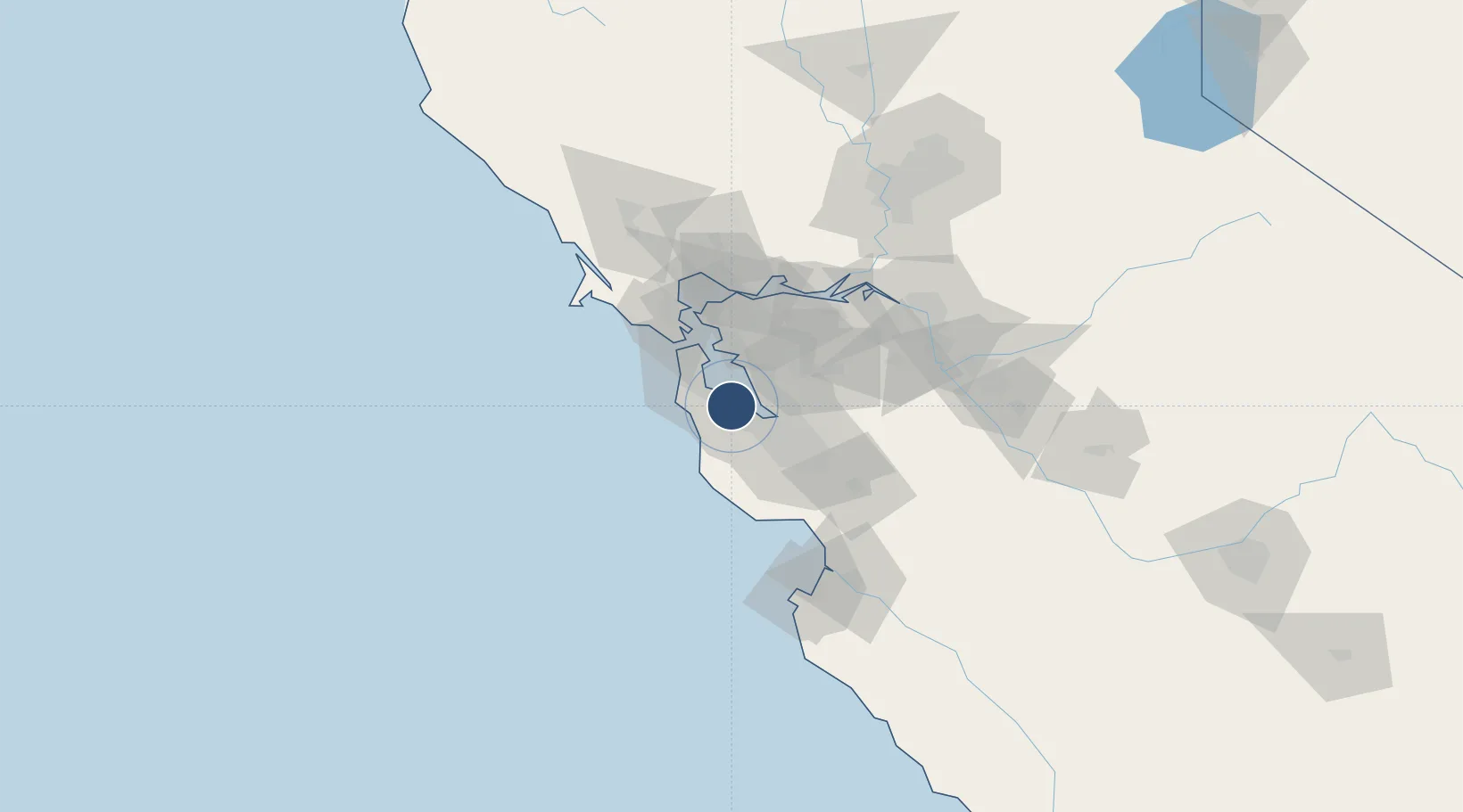
37.5131°, -122.2508°
2,621 ft
Longest runway
1
Runways
5 ft
Elevation

Runway & Layout

San Carlos Airport runway & taxiway layout
Runway & taxiway layout — OpenStreetMap (ODbL) / OurAirports

Radio Frequencies

ATIS
125.9 MHz
TWR
119 MHz
GND
121.6 MHz
APP
33.82 MHz
NORCAL APP
APP
133.95 MHz
NORCAL APP
DEP
135.65 MHz
NORCAL DEP
CTAF
119 MHz
UNIC
122.95 MHz
UNICOM
OurAirports

Runways · 1

RunwayDimensions SurfaceTrue headingLit
12/30 2,621 × 75ft Asphalt 138°
OurAirports

Airport Specifications

IATA code
SQL
OurAirports
ICAO code
KSQL
OurAirports
Airport class
Medium airport
OurAirports
Scheduled service
Yes
OurAirports
Runway surface
Asphalt
OurAirports
Served city
San Carlos
OurAirports

Location

Location of KSQL
Natural Earth 10m (public domain) · California · KSQL · 37.51, -122.25GoogleOSMYandex

Nearby Logistics Neighbours

Airports
  1. 1Palo Alto Airport13 km
  2. 2San Francisco International Airport16 km
  3. 3Moffett Federal Airfield21 km
  4. 4San Francisco Bay Oakland International Airport23 km
  5. 5Norman Y. Mineta San Jose International Airport33 km
Nearest neighbours — logibook spatial index (haversine) over the source coordinates
Cities
  1. 1Woodside9 km
  2. 2Portola Valley15 km
  3. 3Hayward18 km
  4. 4Moss Beach22 km
  5. 5San Lorenzo22 km
Nearest neighbours — logibook spatial index (haversine) over the source coordinates
Ports
  1. 1Redwood City5 km
  2. 2Alameda30 km
  3. 3Oakland35 km
  4. 4San Francisco37 km
  5. 5Berkeley40 km
Nearest neighbours — logibook spatial index (haversine) over the source coordinates
Trade Zones
  1. 1FTZ No. 056 Oakland33 km
  2. 2FTZ No. 003 San Francisco34 km
  3. 3FTZ No. 018 San Jose38 km
  4. 4FTZ No. 231 Stockton95 km
  5. 5FTZ No. 143 West Sacramento135 km
Nearest neighbours — logibook spatial index (haversine) over the source coordinates
DatabookThe Record of Consolidated Knowledge
United States beyond logistics?
Browse databook

All Sources

AirportsOurAirports
Public domain
Portsthe NGA World Port Index
Public domain (US gov)
LocationsUN/LOCODE
UN/LOCODE — free
Trade Zonesthe World Bank SEZ database
CC BY 4.0
Trade ZonesOpen Zone Map
CC BY
InfrastructureOpenStreetMap
ODbL 1.0
← United States airports