Transport Functions
Road
Multimodal
Hub Profile
Place type
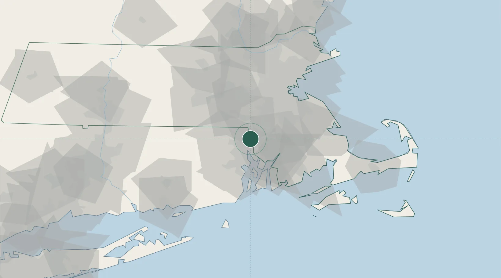
Populated place
Region
Massachusetts
Time zone
America/New_York
Elevation
30 m
Location
Nearby Logistics Neighbours
Cities
- 1Saylesville5 km
- 2Rumford8 km
- 3Riverside17 km
- 4Milan19 km
- 5South Walpole23 km
Ports
- 1Providence13 km
- 2Bristol29 km
- 3Fall River29 km
- 4Davisville Depot34 km
- 5Tiverton34 km
Airports
Trade Zones
DatabookThe Record of Consolidated Knowledge
United States beyond logistics?