UN/LOCODE hub · Oman
OMSOH
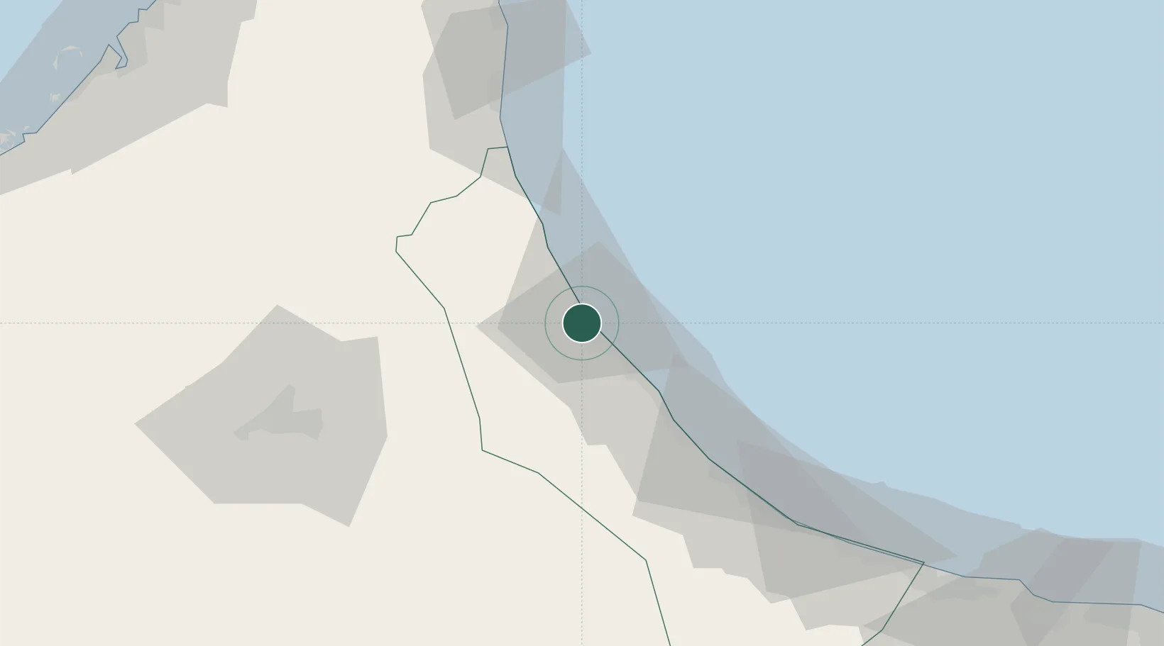
Sohar
24.4910°, 56.5884°
108,274
Population
1
Transport functions
1
Container terminals
Transport Functions
Port
Hub Profile
Place type
Regional capital
Region
Al Batinah North
Population
108,274
Time zone
Asia/Muscat
Elevation
12 m
Logistics facilities
4
Container terminals
1
Location
Nearby Logistics Neighbours
Cities
- 1Shinas30 km
- 2Kalba68 km
- 3Al Fujayrah81 km
- 4Khor al Fakkan100 km
- 5Al-Suwaiq112 km
Ports
- 1Khawr Fakkan99 km
- 2Ajman155 km
- 3Al Hamriyah Lpg Terminal156 km
- 4Ash Shariqah156 km
- 5Dubayy156 km
Airports
- 1Suhar International Airport12 km
- 2Fujairah International Airport74 km
- 3Al Ain International Airport102 km
- 4Mussanah Airport131 km
- 5Al Minhad Air Base137 km
Trade Zones
- 1Sohar Free Zone1 km
- 2Fujairah Creative City75 km
- 3Fujairah Free Zone79 km
- 4Al Ain Industrial City107 km
- 5RAKEZ Al Ghail Industrial Zone119 km
DatabookThe Record of Consolidated Knowledge
Oman beyond logistics?