Transport Functions
Port
Hub Profile
Place type
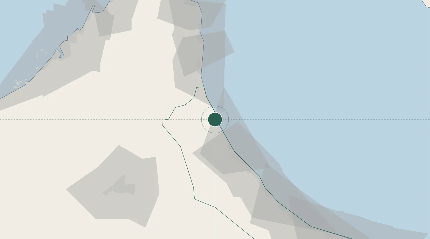
Populated place
Region
Al Batinah North
Population
48,009
Time zone
Asia/Muscat
Elevation
3 m
Location
Nearby Logistics Neighbours
Cities
- 1Sohar30 km
- 2Kalba39 km
- 3Al Fujayrah51 km
- 4Khor al Fakkan71 km
- 5Dibba100 km
Ports
- 1Port Of Sohar29 km
- 2Khawr Fakkan71 km
- 3Al Hamriyah Lpg Terminal128 km
- 4Ajman129 km
- 5Al Jazeera Port129 km
Airports
Trade Zones
- 1Sohar Free Zone29 km
- 2Fujairah Creative City46 km
- 3Fujairah Free Zone50 km
- 4RAKEZ Al Ghail Industrial Zone90 km
- 5Sharjah Media City Free Zone (Shams)100 km
DatabookThe Record of Consolidated Knowledge
Oman beyond logistics?