Export Processing Zone · Uganda

Bushenyi Industrial Park Active
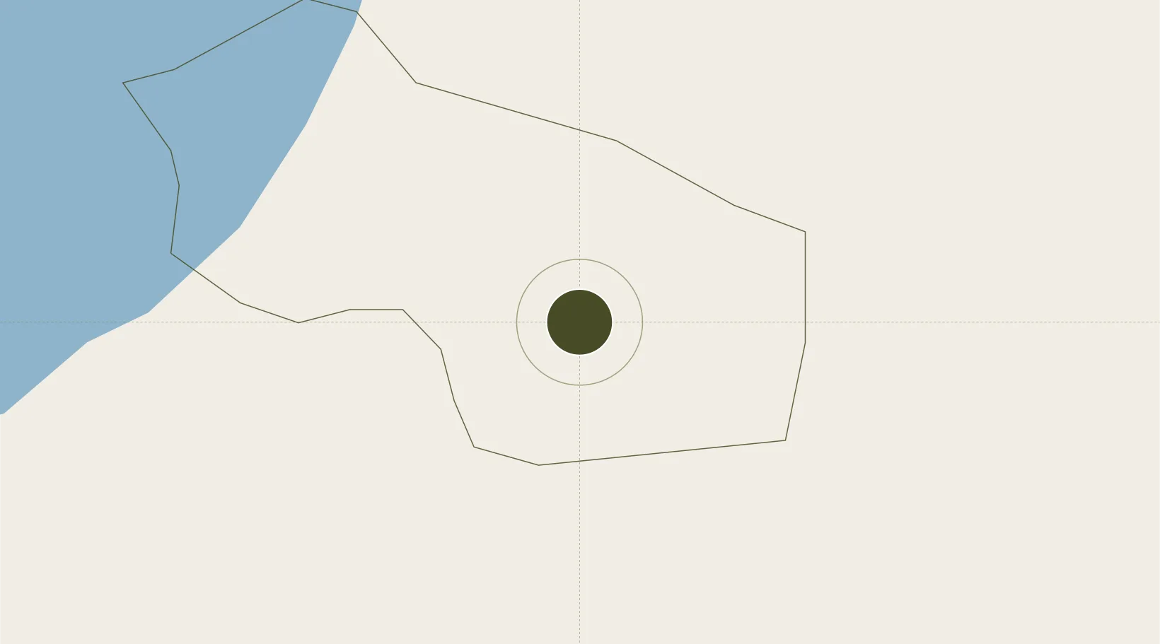
-0.5466°, 30.1898°
28 ha
Zone area
1,112.2 km
Nearest port
57.7 km
Nearest airport

Gateway access

Nearest neighbours — logibook spatial index (haversine) over the source coordinates

Zone profile

Zone type
Export Processing Zone
Open Zone Map
Region
Bushenyi
Open Zone Map
Status
Active
Open Zone Map
Management
Public-Private Partnership
Open Zone Map
Operator
Uganda Investment Authority
Open Zone Map
Legal framework
Free Zones Act, 2014 (No. 5 of 2014).
Open Zone Map

Location

Location of ozm-4592
Natural Earth 10m (public domain) · Bushenyi · ozm-4592 · -0.55, 30.19GoogleOSMYandex

Nearby Logistics Neighbours

Ports
  1. 1Tanga1112 km
  2. 2Mombasa1123 km
  3. 3Kilifi1129 km
  4. 4Malindi1144 km
  5. 5Zanzibar1177 km
Nearest neighbours — logibook spatial index (haversine) over the source coordinates
Airports
  1. 1Savannah Airstrip58 km
  2. 2Kisoro Airport97 km
  3. 3Kigali International Airport158 km
  4. 4Gisenyi Airport163 km
  5. 5Goma International Airport163 km
Nearest neighbours — logibook spatial index (haversine) over the source coordinates
Cities
  1. 1Nyagatare83 km
  2. 2Mutara124 km
  3. 3Rwamagana279 km
  4. 4Mukono302 km
  5. 5Cibitoke323 km
Nearest neighbours — logibook spatial index (haversine) over the source coordinates
Trade Zones
  1. 1Mbarara Industrial Park49 km
  2. 2Kasese Industrial Park79 km
  3. 3Kabale Industrial Park81 km
  4. 4Kabaale Industrial Park82 km
  5. 5Nyagatare Industrial Park83 km
Nearest neighbours — logibook spatial index (haversine) over the source coordinates
DatabookThe Record of Consolidated Knowledge
Uganda beyond logistics?
Browse databook

All Sources

Trade ZonesOpen Zone Map
CC BY
Portsthe NGA World Port Index
Public domain (US gov)
AirportsOurAirports
Public domain
LocationsUN/LOCODE
UN/LOCODE — free
← Uganda trade zones