Transport Functions
Port
Road
Hub Profile
Place type
Urban district
Region
Bujumbura Mairie
Time zone
Africa/Bujumbura
Elevation
807 m
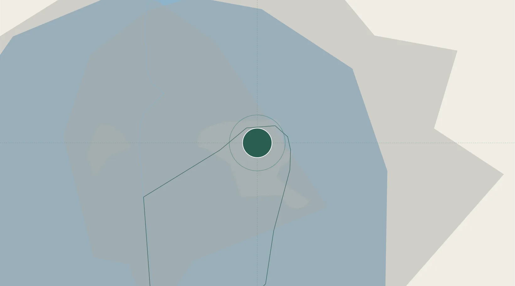
Location
Nearby Logistics Neighbours
Ports
- 1Tanga1099 km
- 2Zanzibar1132 km
- 3Mombasa1146 km
- 4Kilifi1166 km
- 5Dar Es Salaam1166 km
Airports
- 1Bujumbura Melchior Ndadaye International Airport5 km
- 2Gitega Airport61 km
- 3Kamembe Airport109 km
- 4Kirundo Airport119 km
- 5Bukavu Kavumu Airport130 km
Trade Zones
- 1Warubonda Special Economic Zone13 km
- 2Huye Industrial Park89 km
- 3Rusizi Industrial Park89 km
- 4Muhanga Industrial Park144 km
- 5Bugesera Industrial Park156 km
DatabookThe Record of Consolidated Knowledge
Burundi beyond logistics?