Export Processing Zone · Uganda

Kabale Industrial Park Under Development
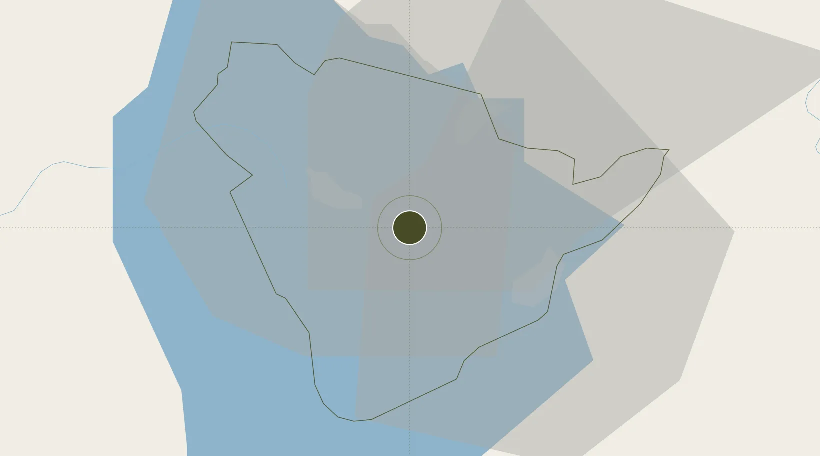
-1.2454°, 29.9833°
2,957 ha
Zone area
1,100.0 km
Nearest port
29.6 km
Nearest airport

Gateway access

Nearest neighbours — logibook spatial index (haversine) over the source coordinates

Zone profile

Zone type
Export Processing Zone
Open Zone Map
Region
Kabale
Open Zone Map
Status
Under Development
Open Zone Map
Management
Public-Private Partnership
Open Zone Map
Operator
Uganda Investment Authority
Open Zone Map
Legal framework
Free Zones Act, 2014 (No. 5 of 2014).
Open Zone Map

Location

Location of ozm-4605
Natural Earth 10m (public domain) · Kabale · ozm-4605 · -1.25, 29.98GoogleOSMYandex

Nearby Logistics Neighbours

Ports
  1. 1Tanga1100 km
  2. 2Mombasa1120 km
  3. 3Kilifi1130 km
  4. 4Malindi1149 km
  5. 5Zanzibar1158 km
Nearest neighbours — logibook spatial index (haversine) over the source coordinates
Airports
  1. 1Kisoro Airport30 km
  2. 2Savannah Airstrip67 km
  3. 3Kigali International Airport82 km
  4. 4Gisenyi Airport94 km
  5. 5Goma International Airport95 km
Nearest neighbours — logibook spatial index (haversine) over the source coordinates
Cities
  1. 1Nyagatare37 km
  2. 2Mutara43 km
  3. 3Cibitoke242 km
  4. 4Kibondo272 km
  5. 5Mwanza354 km
Nearest neighbours — logibook spatial index (haversine) over the source coordinates
Trade Zones
  1. 1Kabaale Industrial Park2 km
  2. 2Nyagatare Industrial Park40 km
  3. 3Nyabihu Industrial Park66 km
  4. 4Musanze Industrial Park77 km
  5. 5Kigali Special Economic Zone81 km
Nearest neighbours — logibook spatial index (haversine) over the source coordinates
DatabookThe Record of Consolidated Knowledge
Uganda beyond logistics?
Browse databook

All Sources

Trade ZonesOpen Zone Map
CC BY
Portsthe NGA World Port Index
Public domain (US gov)
AirportsOurAirports
Public domain
LocationsUN/LOCODE
UN/LOCODE — free
← Uganda trade zones