Transport Functions
Port
Road
Hub Profile
Place type
Provincial seat
Region
Istanbul
Population
53,167
Time zone
Europe/Istanbul
Elevation
9 m
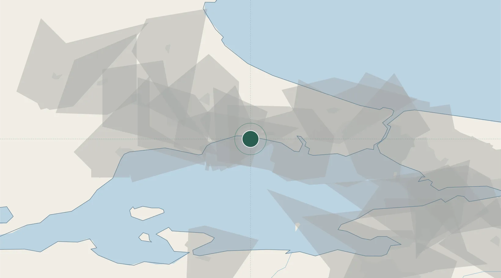
Location
Nearby Logistics Neighbours
Cities
- 1Mimarsinan26 km
- 2Boyalik33 km
- 3Kapakli37 km
- 4Firuzköy39 km
- 5Istanbul39 km
Ports
- 1Ambarli39 km
- 2Istanbul60 km
- 3Tekirdag62 km
- 4Haydarpasa65 km
- 5Istinye67 km
Airports
- 1Tekirdağ Çorlu Airport29 km
- 2İstanbul Airport47 km
- 3İstanbul Atatürk Airport49 km
- 4İstanbul Samandıra Army Air Base82 km
- 5Bandırma Airport86 km
Trade Zones
DatabookThe Record of Consolidated Knowledge
Türkiye beyond logistics?