Large airport · Türkiye
Istanbul Sabiha Gökçen International AirportLTFJ
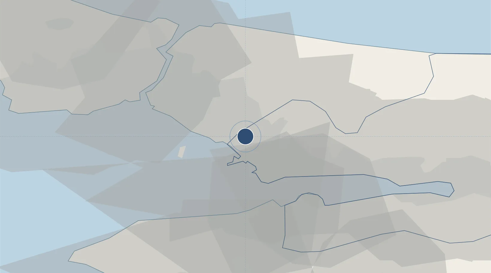
40.8986°, 29.3092°
11,614 ft
Longest runway
2
Runways
312 ft
Elevation
Runway & Layout

Radio Frequencies
ATIS
128.2 MHz
TWR
37.877 MHz
TWR
118.8 MHz
GND
121.75 MHz
CLNC DEL
126.425 MHz
Navaids
SAB NDB Sabiha Gokcen 347 kHz
SBH VOR-DME Sabiha Gokcen 108.80 MHz
Runways · 2
| Runway | Dimensions | Surface | True heading | Lit |
|---|---|---|---|---|
| 06R/24L | 11,614 × 197ft | Concrete | — | — |
| 06L/24R | 9,843 × 148ft | Concrete | 064° | ✓ |
Airport Specifications
IATA code
SAW
ICAO code
LTFJ
Airport class
Large airport
Scheduled service
Yes
Runway surface
Concrete
Served city
Pendik, Istanbul
Location
Nearby Logistics Neighbours
Airports
- 1İstanbul Samandıra Army Air Base13 km
- 2İstanbul Atatürk Airport42 km
- 3İstanbul Airport64 km
- 4Cengiz Topel Airport68 km
- 5Bursa Yenişehir Airport75 km
Cities
- 1Yayalar5 km
- 2Tuzla6 km
- 3Sekerpinar7 km
- 4Pasaköy14 km
- 5Gebze20 km
Ports
- 1Gebze25 km
- 2Haydarpasa27 km
- 3Istanbul32 km
- 4Istinye33 km
- 5Yarimca35 km
DatabookThe Record of Consolidated Knowledge
Türkiye beyond logistics?