Seaport · Türkiye
IstanbulTRIST
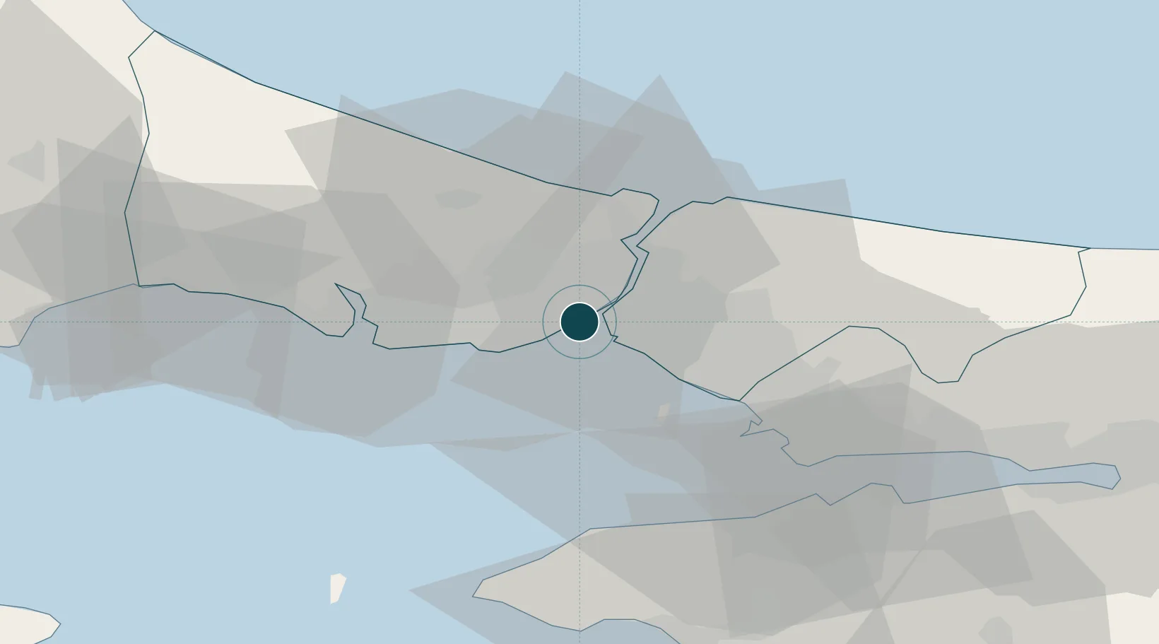
41.0167°, 28.9667°
12.5 m
Channel depth
3
Container terminals
10.5
Port liner connectivity
Channel & Berth Profile
Pilotage, Tugs & Services
Pilotage compulsoryYES
Pilotage availableYES
Tug assistanceYES
Shore powerYES
Potable waterYES
Diesel bunkersYES
MedicalYES
Garbage disposalYES
Facilities & Capabilities
Container—
Ro-Ro—
Liquid bulk—
Dry bulk—
Oil terminal—
Break bulk—
Dry dockNO
RepairsNO
BunkeringYES
Rail linkYES
Dangerous cargo—
ISPS security—
Harbour Specifications
Harbour size
Large
Harbour type
Canal or Lake
Shelter
Fair
Water body
Sea of Marmara; Mediterranean Sea; North Atlantic Ocean
Overhead limit
Yes
Pilotage
Yes
Liner Connectivity
10.5
PLSCI
Port Liner Shipping Connectivity Index for Istanbul, as published by UNCTAD for the latest available quarter. Higher values indicate stronger scheduled liner-shipping integration.
Shown relative to the highest per-port PLSCI in the dataset (1,657.9).
Location
Container Terminals · 3
KUMPORT TERMINAL
KUMLI KUMPORT LIMAN HIZMETLERI VE LOJISTIK SANAYI VE TICARET A.S.
MARDAS TERMINAL, AMBARLI PORT
MRD MARDAS MARMARA DENIZ ISLETMECILIGI A.S.
MARPORT TERMINAL
MRP MARPORT LIMAN ISLETMELERI SANAYI VE TICARET A.S.
Nearby Logistics Neighbours
Ports
- 1Haydarpasa5 km
- 2Istinye13 km
- 3Ambarli23 km
- 4Gebze56 km
- 5Yarimca66 km
Cities
- 1Mardas1 km
- 2Hasköy2 km
- 3Karaköy/Istambul2 km
- 4Kabatas3 km
- 5Davutpasa3 km
Airports
Trade Zones
DatabookThe Record of Consolidated Knowledge
Türkiye beyond logistics?