Transport Functions
Rail
Road
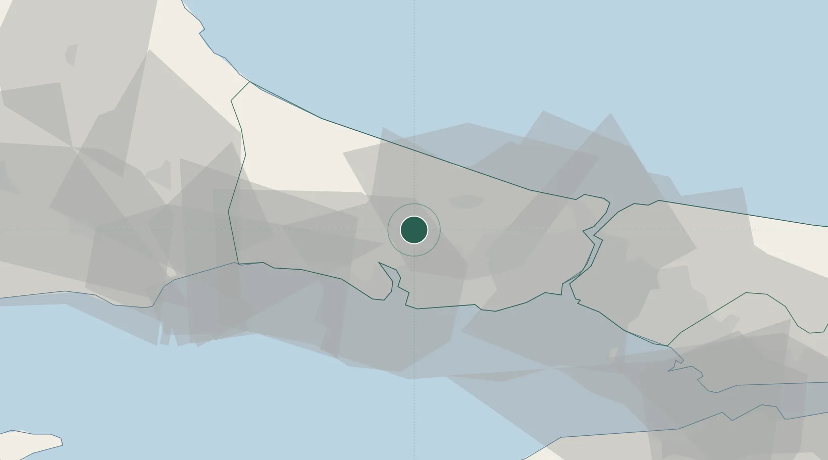
Hub Profile
Place type
Populated place
Region
Istanbul
Population
11,835
Time zone
Europe/Istanbul
Elevation
83 m
Location
Nearby Logistics Neighbours
Cities
- 1Mimarsinan18 km
- 2Firuzköy20 km
- 3Istanbul20 km
- 4Ambarli23 km
- 5Kumport29 km
Ports
- 1Ambarli23 km
- 2Istanbul34 km
- 3Istinye37 km
- 4Haydarpasa38 km
- 5Mudanya90 km
Airports
Trade Zones
DatabookThe Record of Consolidated Knowledge
Türkiye beyond logistics?