Medium airport · Türkiye

İstanbul Samandıra Army Air BaseLTBX
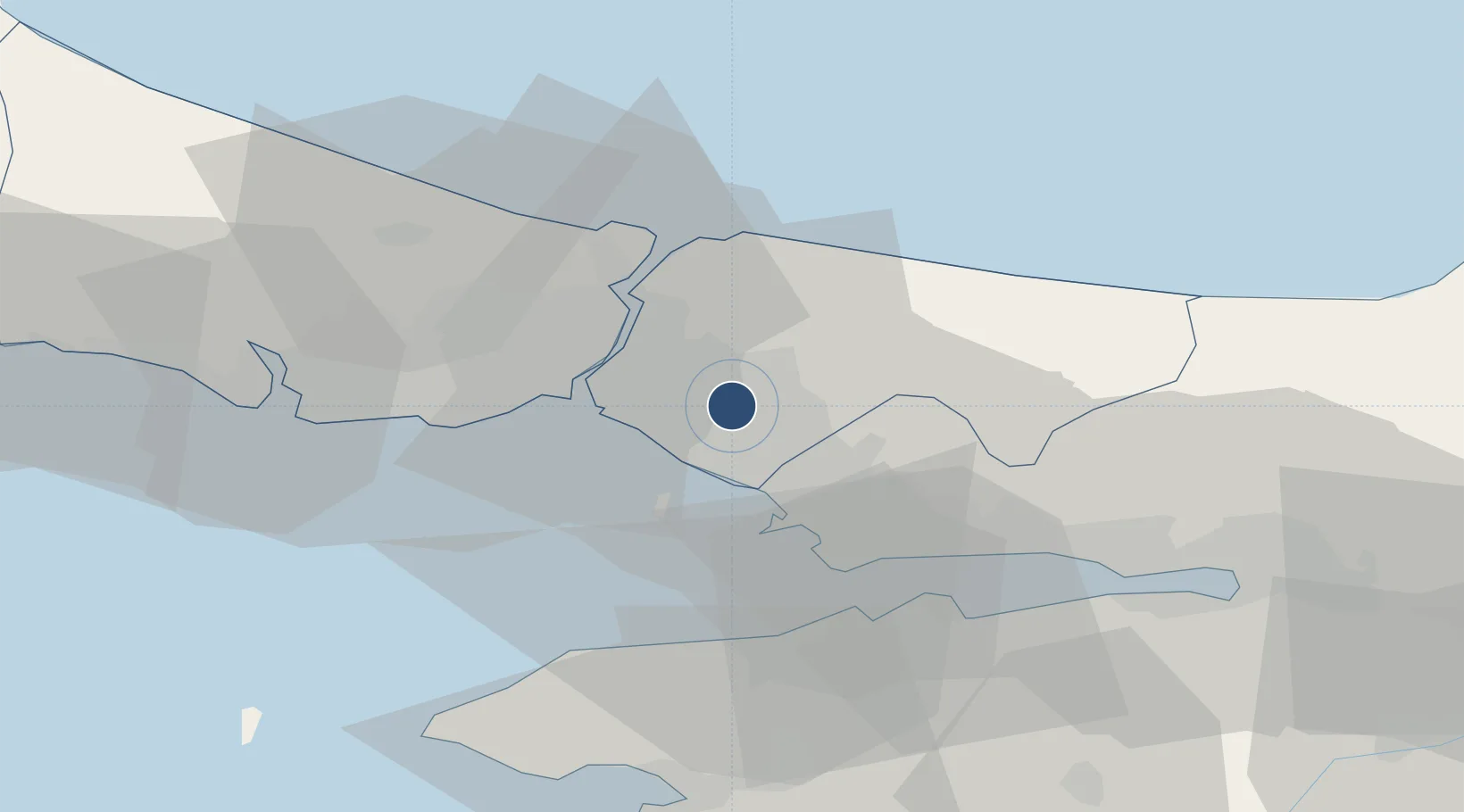
40.9930°, 29.2165°
4,528 ft
Longest runway
2
Runways
400 ft
Elevation

Runway & Layout

İstanbul Samandıra Army Air Base runway & taxiway layout
Runway & taxiway layout — OpenStreetMap (ODbL) / OurAirports

Radio Frequencies

TWR
132 MHz
OurAirports

Runways · 2

RunwayDimensions SurfaceTrue headingLit
18/36 4,528 × 98ft Concrete 180°
04/22 2,506 × 50ft Concrete 045°
OurAirports

Airport Specifications

ICAO code
LTBX
OurAirports
Airport class
Medium airport
OurAirports
Scheduled service
No
OurAirports
Runway surface
Concrete
OurAirports
Served city
Ümraniye, Istanbul
OurAirports

Location

Location of LTBX
Natural Earth 10m (public domain) · Istanbul · LTBX · 40.99, 29.22GoogleOSMYandex

Nearby Logistics Neighbours

Airports
  1. 1Istanbul Sabiha Gökçen International Airport13 km
  2. 2İstanbul Atatürk Airport33 km
  3. 3İstanbul Airport51 km
  4. 4Cengiz Topel Airport78 km
  5. 5Bursa Yenişehir Airport87 km
Nearest neighbours — logibook spatial index (haversine) over the source coordinates
Cities
  1. 1Pasaköy5 km
  2. 2Haydarpasa11 km
  3. 3Yayalar13 km
  4. 4Üsküdar14 km
  5. 5Beylerbeyi15 km
Nearest neighbours — logibook spatial index (haversine) over the source coordinates
Ports
  1. 1Haydarpasa17 km
  2. 2Istinye20 km
  3. 3Istanbul21 km
  4. 4Gebze38 km
  5. 5Ambarli44 km
Nearest neighbours — logibook spatial index (haversine) over the source coordinates
Trade Zones
  1. 1Istanbul Leather Industry Free Zone19 km
  2. 2Istanbul Stock Exchange Free Zone20 km
  3. 3Gebze Organized Industrial Zone24 km
  4. 4TUBITAK Technology Free Zone and Technopark30 km
  5. 5TÜBā°TAK Technology Free Zone and Technopark30 km
Nearest neighbours — logibook spatial index (haversine) over the source coordinates
DatabookThe Record of Consolidated Knowledge
Türkiye beyond logistics?
Browse databook

All Sources

AirportsOurAirports
Public domain
Portsthe NGA World Port Index
Public domain (US gov)
LocationsUN/LOCODE
UN/LOCODE — free
Trade Zonesthe World Bank SEZ database
CC BY 4.0
Trade ZonesOpen Zone Map
CC BY
InfrastructureOpenStreetMap
ODbL 1.0
← Türkiye airports