UN/LOCODE hub · Türkiye
TRFRZ

Firuzköy

41.0000°, 28.7000°
2
Transport functions

Transport Functions

Port
Road
UN/LOCODE

Hub Profile

Region
34
GeoNames

Location

Location of TRFRZ
Natural Earth 10m (public domain) · 34 · TRFRZ · 41.00, 28.70GoogleOSMYandex

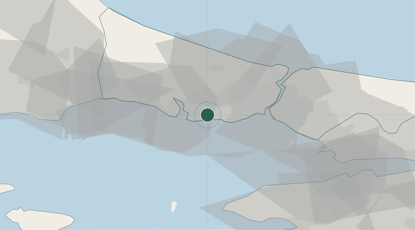
Nearby Logistics Neighbours

Cities
  1. 1Istanbul1 km
  2. 2Ambarli4 km
  3. 3Kumport11 km
  4. 4Mimarsinan13 km
  5. 5Davutpasa20 km
Nearest neighbours — logibook spatial index (haversine) over the source coordinates
Ports
  1. 1Ambarli4 km
  2. 2Istanbul23 km
  3. 3Haydarpasa27 km
  4. 4Istinye32 km
  5. 5Mudanya70 km
Nearest neighbours — logibook spatial index (haversine) over the source coordinates
Airports
  1. 1İstanbul Atatürk Airport11 km
  2. 2İstanbul Airport31 km
  3. 3İstanbul Samandıra Army Air Base43 km
  4. 4Istanbul Sabiha Gökçen International Airport52 km
  5. 5Tekirdağ Çorlu Airport67 km
Nearest neighbours — logibook spatial index (haversine) over the source coordinates
Trade Zones
  1. 1Istanbul Atatürk Airport Free Zone10 km
  2. 2Istanbul Tracia Free Zone23 km
  3. 3Istanbul Stock Exchange Free Zone31 km
  4. 4Istanbul Leather Industry Free Zone59 km
  5. 5Gebze Organized Industrial Zone63 km
Nearest neighbours — logibook spatial index (haversine) over the source coordinates
DatabookThe Record of Consolidated Knowledge
Türkiye beyond logistics?
Browse databook

All Sources

LocationsUN/LOCODE
UN/LOCODE — free
Portsthe NGA World Port Index
Public domain (US gov)
AirportsOurAirports
Public domain
Trade Zonesthe World Bank SEZ database
CC BY 4.0
Trade ZonesOpen Zone Map
CC BY
← Türkiye locations