Seaport · Türkiye

HaydarpasaTRHAY

41.0000°, 29.0167°
23.2 m
Channel depth
18.1
Port liner connectivity
Haydarpasa is also a UN/LOCODE logistics hub →

Channel & Berth Profile

SEA LEVEL (CD)CHANNEL BEDCargo pier · 4.9 mAnchorage · 11.0 mChannel · 23.2 m
NGA World Port Index

Pilotage, Tugs & Services

Pilotage compulsoryYES
Tug assistanceYES
Potable waterYES
Diesel bunkersYES
MedicalYES
Garbage disposalYES
NGA World Port Index

Facilities & Capabilities

Container
Ro-Ro
Liquid bulk
Dry bulk
Oil terminal
Break bulk
Dry dock
RepairsNO
BunkeringYES
Rail linkYES
Dangerous cargo
ISPS security
NGA World Port Index

Harbour Specifications

Harbour size
Medium
NGA World Port Index
Harbour type
Coastal (Breakwater)
NGA World Port Index
Shelter
Good
NGA World Port Index
Water body
Sea of Marmara; Mediterranean Sea; North Atlantic Ocean
NGA World Port Index
Overhead limit
Yes
NGA World Port Index
Pilotage
Yes
NGA World Port Index

Liner Connectivity

18.1
PLSCI

Port Liner Shipping Connectivity Index for Haydarpasa, as published by UNCTAD for the latest available quarter. Higher values indicate stronger scheduled liner-shipping integration.

Shown relative to the highest per-port PLSCI in the dataset (1,657.9).
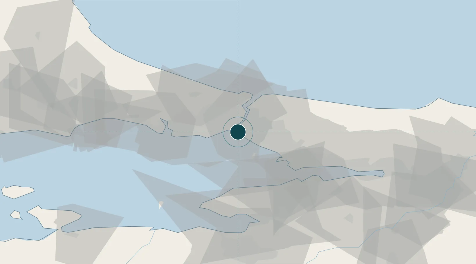
UNCTAD · Port Liner Shipping Connectivity Index

Location

Location of TRHAY
Natural Earth 10m (public domain) · Istanbul · TRHAY · 41.00, 29.02GoogleOSMYandex

Nearby Logistics Neighbours

Ports
  1. 1Istanbul5 km
  2. 2Istinye13 km
  3. 3Ambarli27 km
  4. 4Gebze52 km
  5. 5Yarimca62 km
Nearest neighbours — logibook spatial index (haversine) over the source coordinates
Cities
  1. 1Kiziltoprak2 km
  2. 2Üsküdar3 km
  3. 3Kabatas4 km
  4. 4Karaköy/Istambul5 km
  5. 5Besiktas6 km
Nearest neighbours — logibook spatial index (haversine) over the source coordinates
Airports
  1. 1İstanbul Atatürk Airport17 km
  2. 2İstanbul Samandıra Army Air Base17 km
  3. 3Istanbul Sabiha Gökçen International Airport27 km
  4. 4İstanbul Airport39 km
  5. 5Tekirdağ Çorlu Airport93 km
Nearest neighbours — logibook spatial index (haversine) over the source coordinates
Trade Zones
  1. 1Istanbul Stock Exchange Free Zone12 km
  2. 2Istanbul Atatürk Airport Free Zone17 km
  3. 3Istanbul Leather Industry Free Zone33 km
  4. 4Gebze Organized Industrial Zone38 km
  5. 5TUBITAK Technology Free Zone and Technopark44 km
Nearest neighbours — logibook spatial index (haversine) over the source coordinates
DatabookThe Record of Consolidated Knowledge
Türkiye beyond logistics?
Browse databook

All Sources

Portsthe NGA World Port Index
Public domain (US gov)
Logistics performanceUNCTAD
CC BY 3.0 IGO
AirportsOurAirports
Public domain
LocationsUN/LOCODE
UN/LOCODE — free
Trade Zonesthe World Bank SEZ database
CC BY 4.0
Trade ZonesOpen Zone Map
CC BY
← Türkiye ports