Free Trade Zone · Türkiye

Istanbul Leather Industry Free Zone Active
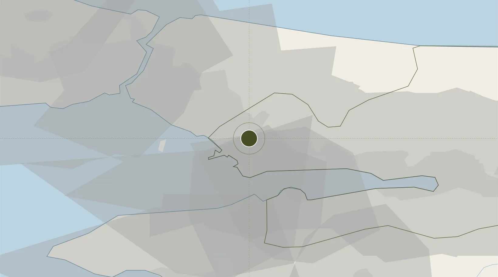
40.8737°, 29.3757°
54 ha
Zone area
18.9 km
Nearest port
6.2 km
Nearest airport

Gateway access

Nearest neighbours — logibook spatial index (haversine) over the source coordinates

Zone profile

Zone type
Free Trade Zone
Open Zone Map
Region
Kocaeli
Open Zone Map
Status
Active
Open Zone Map
Management
Public-Private Partnership
Open Zone Map
Operator
DESBAS ISTANBUL Leather and Industry Free Zone Founder and Operator Inc.
Open Zone Map
Legal framework
Free Zones Law: Law Nr. 3218 Approved: June 6, 1985
Open Zone Map

Location

Location of ozm-4561
Natural Earth 10m (public domain) · Kocaeli · ozm-4561 · 40.87, 29.38GoogleOSMYandex

Nearby Logistics Neighbours

Ports
  1. 1Gebze19 km
  2. 2Yarimca29 km
  3. 3Haydarpasa33 km
  4. 4Istanbul38 km
  5. 5Istinye38 km
Nearest neighbours — logibook spatial index (haversine) over the source coordinates
Airports
  1. 1Istanbul Sabiha Gökçen International Airport6 km
  2. 2İstanbul Samandıra Army Air Base19 km
  3. 3İstanbul Atatürk Airport48 km
  4. 4Cengiz Topel Airport62 km
  5. 5İstanbul Airport70 km
Nearest neighbours — logibook spatial index (haversine) over the source coordinates
Cities
  1. 1Sekerpinar3 km
  2. 2Tuzla8 km
  3. 3Yayalar11 km
  4. 4Gebze14 km
  5. 5Yilport18 km
Nearest neighbours — logibook spatial index (haversine) over the source coordinates
DatabookThe Record of Consolidated Knowledge
Türkiye beyond logistics?
Browse databook

All Sources

Trade ZonesOpen Zone Map
CC BY
Portsthe NGA World Port Index
Public domain (US gov)
AirportsOurAirports
Public domain
LocationsUN/LOCODE
UN/LOCODE — free
← Türkiye trade zones