UN/LOCODE hub · Türkiye
TRIST
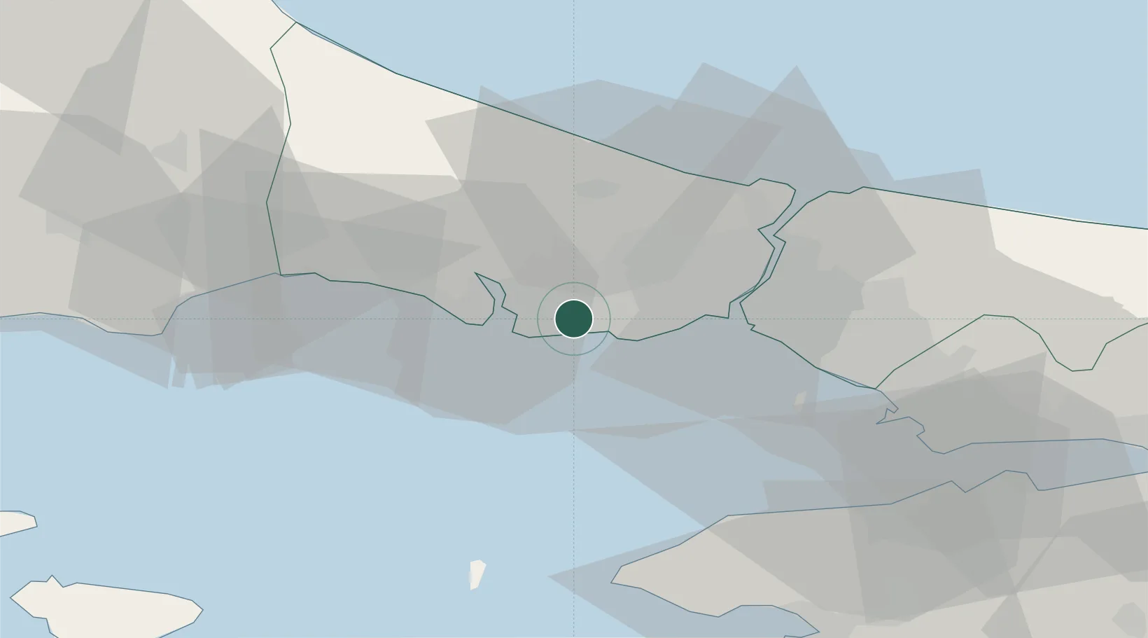
Istanbul
41.0018°, 28.7068°
15,701,602
Population
5
Transport functions
3
Container terminals
Transport Functions
Port
Rail
Road
Airport
Postal
Hub Profile
Place type
Regional capital
Region
Istanbul
Population
15,701,602
Time zone
Europe/Istanbul
Elevation
39 m
Logistics facilities
14
Container terminals
3
Location
Nearby Logistics Neighbours
Cities
- 1Firuzköy1 km
- 2Ambarli4 km
- 3Kumport11 km
- 4Mimarsinan13 km
- 5Davutpasa19 km
Ports
- 1Ambarli4 km
- 2Haydarpasa26 km
- 3Istinye32 km
- 4Mudanya70 km
- 5Gemlik74 km
Airports
Trade Zones
DatabookThe Record of Consolidated Knowledge
Türkiye beyond logistics?