Transport Functions
Port
Hub Profile
Place type
Populated place
Region
Nangarhar
Time zone
Asia/Kabul
Elevation
696 m
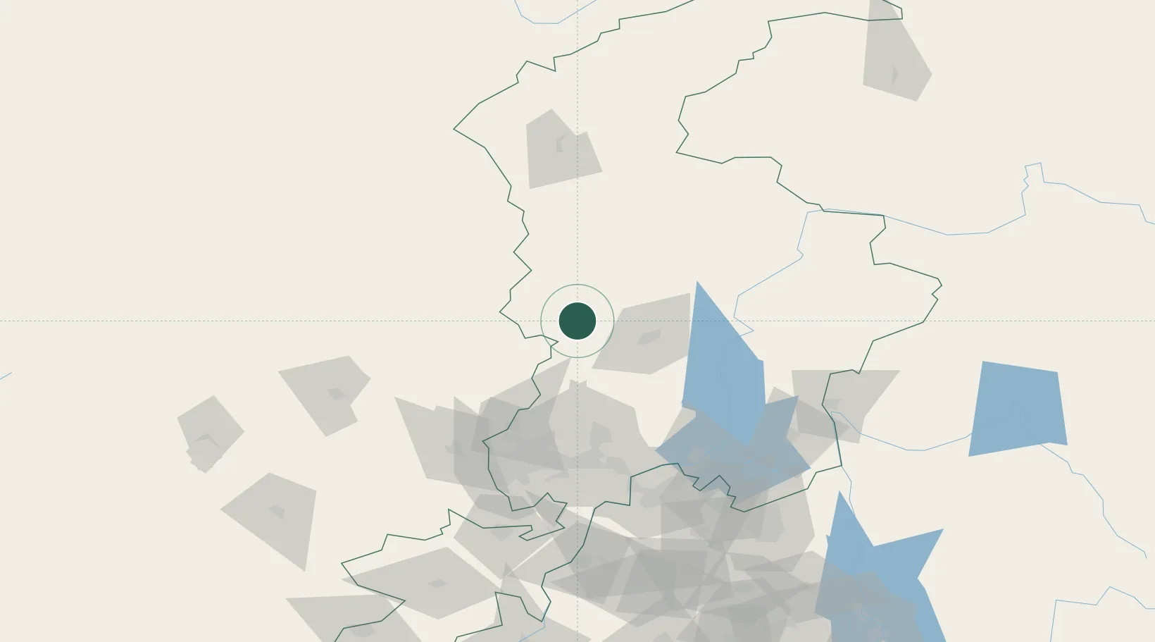
Location
Nearby Logistics Neighbours
Cities
- 1Qasim39 km
- 2Hayatabad72 km
- 3Garhi Habibullah Khan145 km
- 4Jhelum274 km
- 5Sharona298 km
Ports
- 1Muhamamad Bin Qasim1208 km
- 2Karachi1219 km
- 3Kandla1328 km
- 4Navlakhi1334 km
- 5Mandvi1363 km
Airports
- 1Saidu Sharif Airport41 km
- 2Risalpur Air Base89 km
- 3Bacha Khan International Airport106 km
- 4Chitral Airport112 km
- 5Minhas Air Base121 km
Trade Zones
DatabookThe Record of Consolidated Knowledge
Afghanistan beyond logistics?