Medium airport · Pakistan
Chitral AirportOPCH
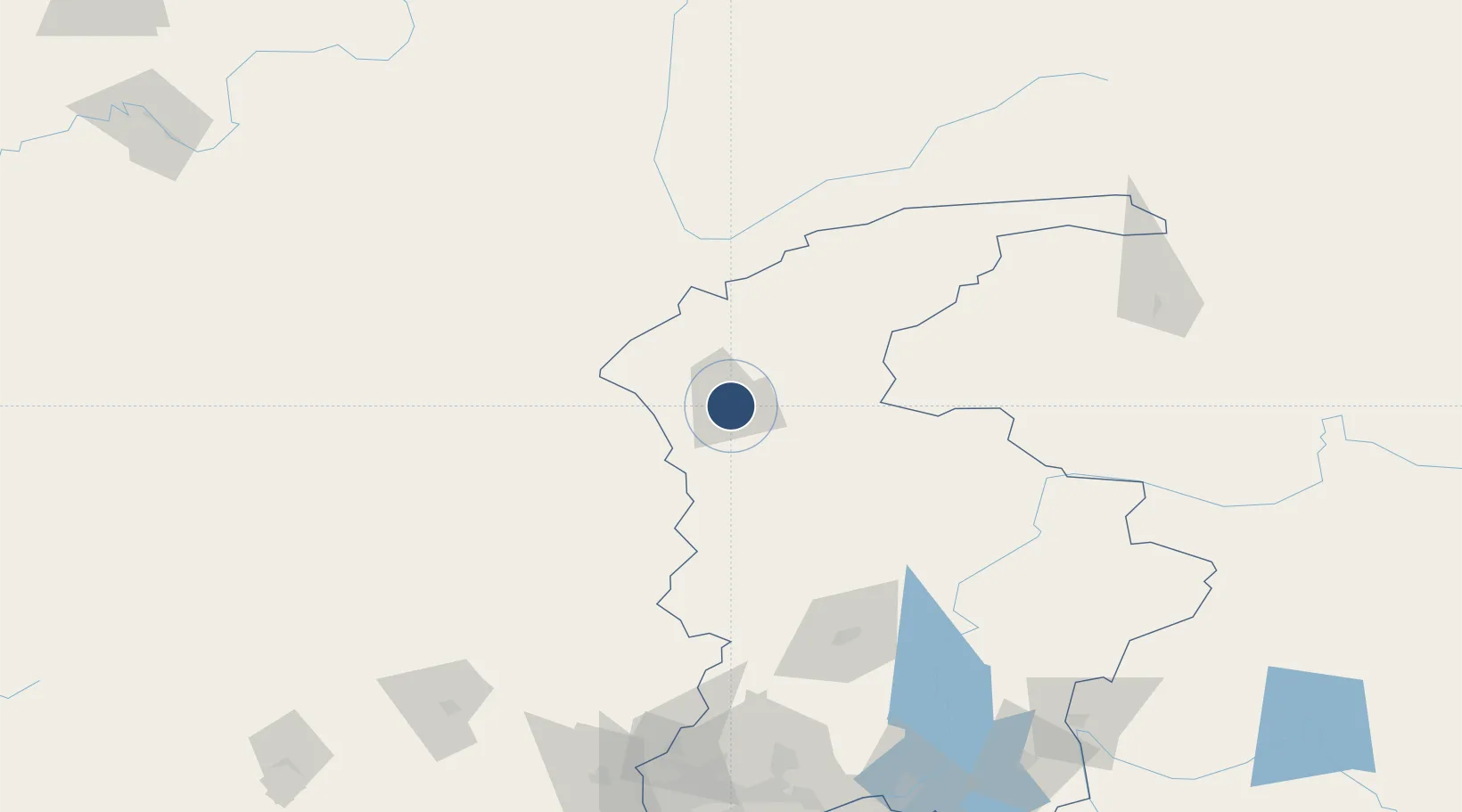
35.8862°, 71.7999°
5,741 ft
Longest runway
1
Runways
4,920 ft
Elevation
Runway & Layout

Radio Frequencies
TWR
122.5 MHz
GND
121.8 MHz
TWR
Runways · 1
| Runway | Dimensions | Surface | True heading | Lit |
|---|---|---|---|---|
| 02/20 | 5,741 × 98ft | Asphalt | 027° | — |
Airport Specifications
IATA code
CJL
ICAO code
OPCH
Airport class
Medium airport
Scheduled service
Yes
Runway surface
Asphalt
Served city
Chitral
Location
Nearby Logistics Neighbours
Airports
- 1Saidu Sharif Airport129 km
- 2Fayzabad Airport179 km
- 3Risalpur Air Base201 km
- 4Jalalabad Airport203 km
- 5Bacha Khan International Airport212 km
Cities
- 1Qasim98 km
- 2Torkham112 km
- 3Hayatabad180 km
- 4Garhi Habibullah Khan219 km
- 5Qurghonteppa346 km
Ports
- 1Muhamamad Bin Qasim1308 km
- 2Karachi1318 km
- 3Kandla1437 km
- 4Navlakhi1444 km
- 5Mandvi1471 km
Trade Zones
DatabookThe Record of Consolidated Knowledge
Pakistan beyond logistics?