UN/LOCODE hub · Pakistan
PKGHB

Garhi Habibullah Khan

34.4000°, 73.3833°
2
Transport functions

Transport Functions

Road
Multimodal
UN/LOCODE

Hub Profile

Region
KP
GeoNames

Location

Location of PKGHB
Natural Earth 10m (public domain) · KP · PKGHB · 34.40, 73.38GoogleOSMYandex

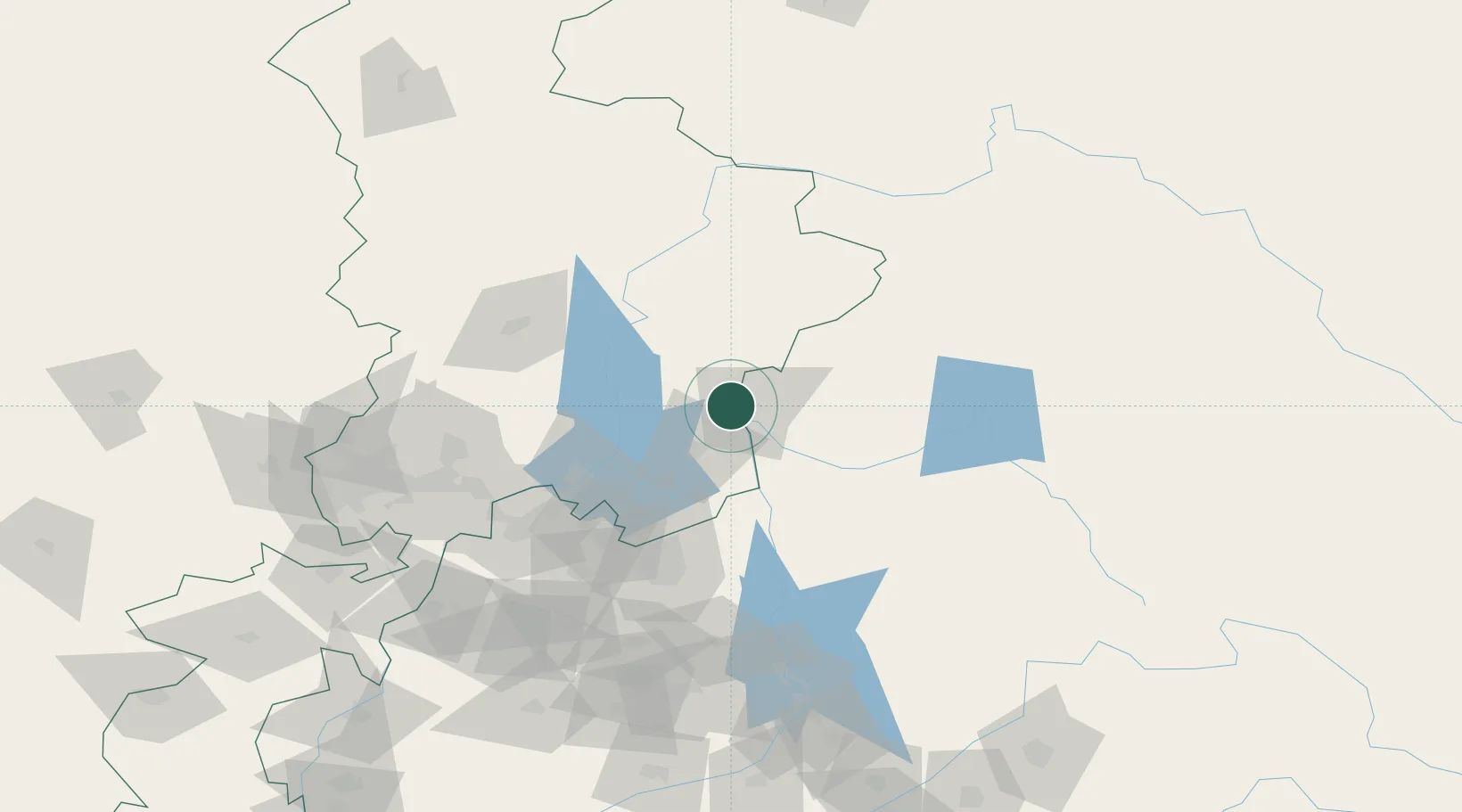
Nearby Logistics Neighbours

Cities
  1. 1Torkham145 km
  2. 2Hayatabad157 km
  3. 3Jhelum166 km
  4. 4Qasim183 km
  5. 5Jammu233 km
Nearest neighbours — logibook spatial index (haversine) over the source coordinates
Ports
  1. 1Muhamamad Bin Qasim1219 km
  2. 2Karachi1235 km
  3. 3Kandla1301 km
  4. 4Navlakhi1304 km
  5. 5Mandvi1345 km
Nearest neighbours — logibook spatial index (haversine) over the source coordinates
Airports
  1. 1Muzaffarabad Airport13 km
  2. 2Rawalakot Airport72 km
  3. 3PAF Base Nur Khan (Benazir Bhutto International Airport)91 km
  4. 4Saidu Sharif Airport105 km
  5. 5Islamabad International Airport108 km
Nearest neighbours — logibook spatial index (haversine) over the source coordinates
Trade Zones
  1. 1Hattar Special Economic Zone76 km
  2. 2Oil Village Rawalpindi Special Economic Zone96 km
  3. 3Islamabad Capital Territory Model Industrial Zone102 km
  4. 4Rashakai Nowshehra Special Economic Zone120 km
  5. 5Risalpur Export Processing Zone132 km
Nearest neighbours — logibook spatial index (haversine) over the source coordinates
DatabookThe Record of Consolidated Knowledge
Pakistan beyond logistics?
Browse databook

All Sources

LocationsUN/LOCODE
UN/LOCODE — free
Portsthe NGA World Port Index
Public domain (US gov)
AirportsOurAirports
Public domain
Trade Zonesthe World Bank SEZ database
CC BY 4.0
Trade ZonesOpen Zone Map
CC BY
← Pakistan locations