Diversified Zone · Pakistan

Moqpondass Special Economic Zone Gilgit-Baltistan Under Development
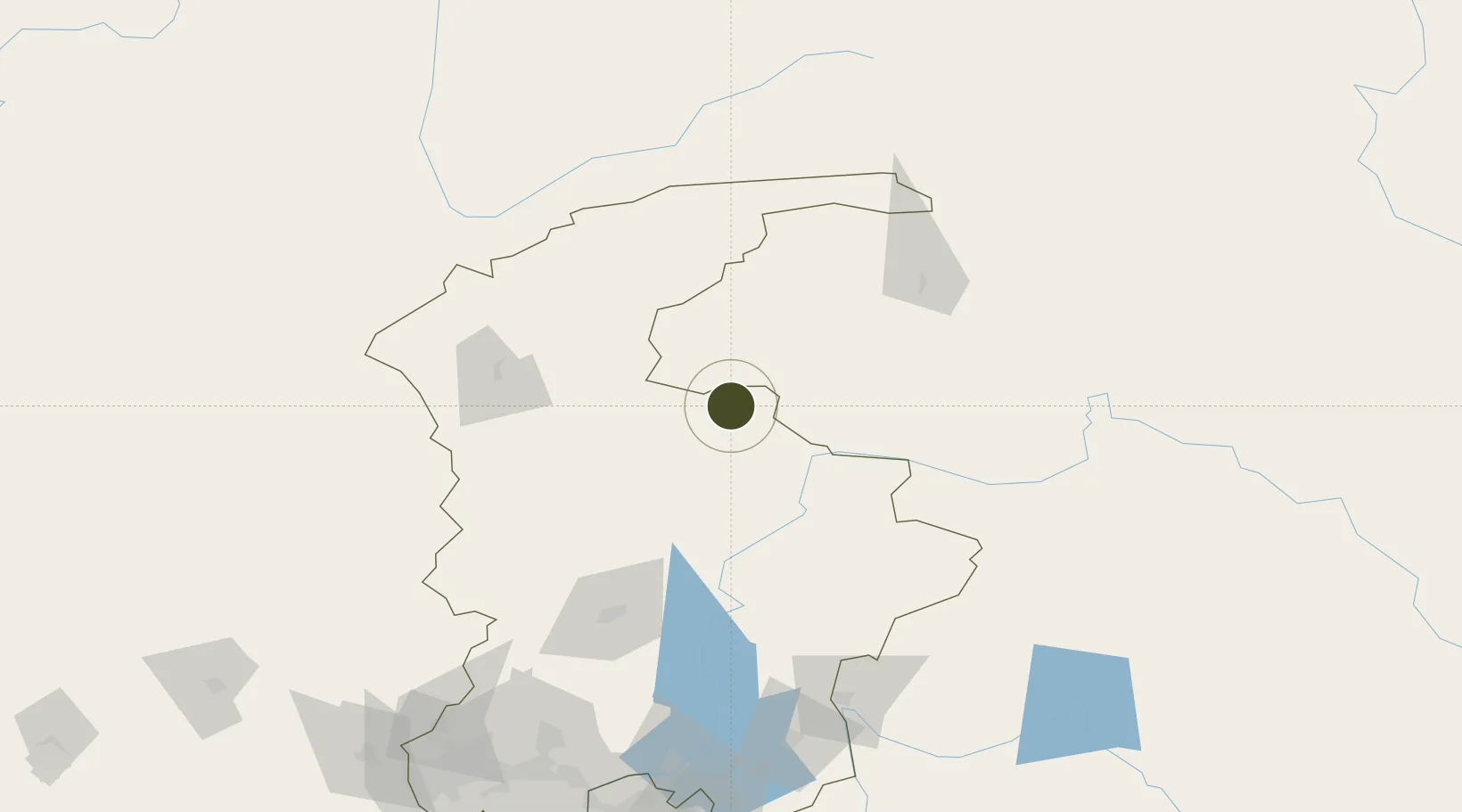
35.7810°, 72.9231°
101 ha
Zone area
1,335.9 km
Nearest port
101.9 km
Nearest airport

Gateway access

Nearest neighbours — logibook spatial index (haversine) over the source coordinates

Zone profile

Zone type
Diversified Zone
Open Zone Map
Region
K.P.
Open Zone Map
Status
Under Development
Open Zone Map
Management
Public
Open Zone Map
Operator
Government of Gilgit-Baltistan
Open Zone Map
Legal framework
Special Economic Zones Act, 2012
Open Zone Map

Location

Location of ozm-3034
Natural Earth 10m (public domain) · K.P. · ozm-3034 · 35.78, 72.92GoogleOSMYandex

Nearby Logistics Neighbours

Ports
  1. 1Muhamamad Bin Qasim1336 km
  2. 2Karachi1349 km
  3. 3Kandla1441 km
  4. 4Navlakhi1446 km
  5. 5Mandvi1481 km
Nearest neighbours — logibook spatial index (haversine) over the source coordinates
Airports
  1. 1Chitral Airport102 km
  2. 2Saidu Sharif Airport119 km
  3. 3Gilgit Airport128 km
  4. 4Muzaffarabad Airport169 km
  5. 5Risalpur Air Base208 km
Nearest neighbours — logibook spatial index (haversine) over the source coordinates
Cities
  1. 1Torkham135 km
  2. 2Qasim151 km
  3. 3Garhi Habibullah Khan159 km
  4. 4Hayatabad203 km
  5. 5Jhelum325 km
Nearest neighbours — logibook spatial index (haversine) over the source coordinates
Trade Zones
  1. 1Ishkoshim Free Economic Zone158 km
  2. 2Rashakai Nowshehra Special Economic Zone204 km
  3. 3Risalpur Export Processing Zone206 km
  4. 4Hattar Special Economic Zone211 km
  5. 5Mohmand Marble City226 km
Nearest neighbours — logibook spatial index (haversine) over the source coordinates
DatabookThe Record of Consolidated Knowledge
Pakistan beyond logistics?
Browse databook

All Sources

Trade ZonesOpen Zone Map
CC BY
Portsthe NGA World Port Index
Public domain (US gov)
AirportsOurAirports
Public domain
LocationsUN/LOCODE
UN/LOCODE — free
← Pakistan trade zones