Specialized Zone · South Korea
Dudong District High-Tech Industrial Complex Active
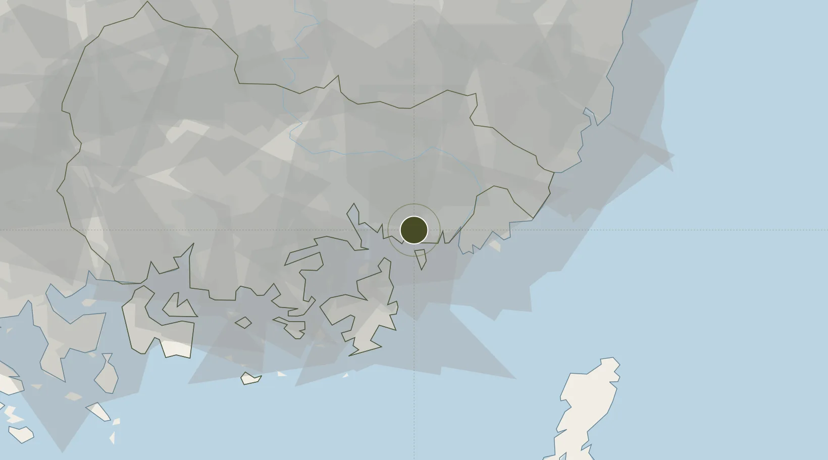
35.1247°, 128.8021°
168 ha
Zone area
13.9 km
Nearest port
13.8 km
Nearest airport
Gateway access
Zone profile
Zone type
Specialized Zone
Specialization
Tech
Region
South Gyeongsang
Status
Active
Management
Public
Operator
Busan-Jinhae Free Economic Zone Authority
Legal framework
Special Act On Designation And Management Of Free Economic Zones Expand Act No. 15309, Dec. 26, 2017, Foreign Investment Promotion Act: Expand Act No. 16131, Dec. 31, 2018.
Location
Nearby Logistics Neighbours
Ports
- 1Chinae14 km
- 2Busan21 km
- 3Masan22 km
- 4Ulsan65 km
- 5Gwangyang Hang99 km
Airports
- 1Gimhae International Airport14 km
- 2Sacheon Airport / Sacheon Air Base67 km
- 3Ulsan Airport72 km
- 4Daegu International Airport87 km
- 5Tsushima Airport105 km
Cities
- 1Changwon4 km
- 2Busan New Port5 km
- 3Jinhae14 km
- 4Busan15 km
- 5Koryong16 km
DatabookThe Record of Consolidated Knowledge
South Korea beyond logistics?