UN/LOCODE hub · South Korea
KRPUS
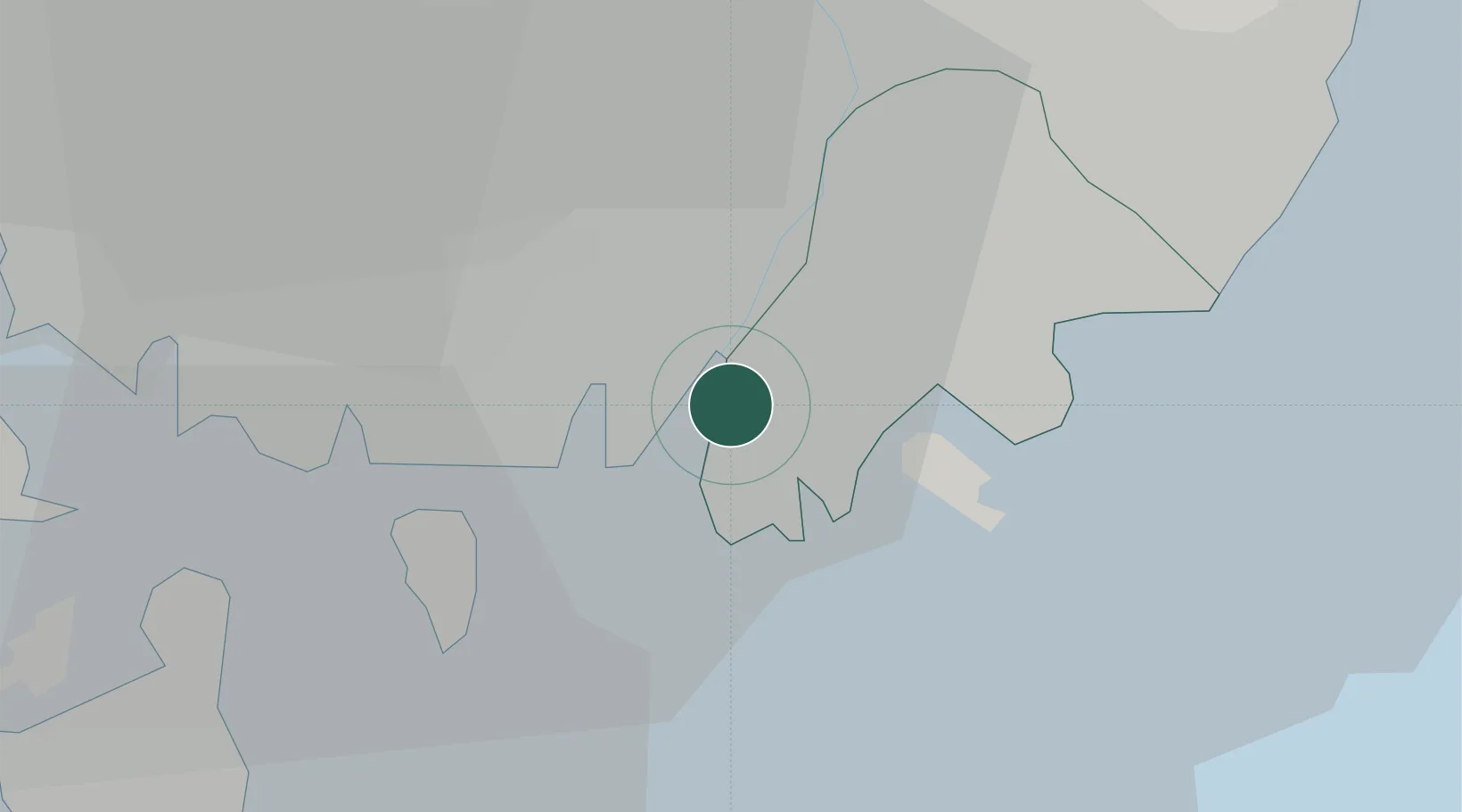
Busan
35.1109°, 128.9649°
3,343,903
Population
7
Transport functions
10
Container terminals
Transport Functions
Port
Rail
Road
Airport
Multimodal
Postal
Fixed Transport
Hub Profile
Place type
Regional capital
Region
Busan
Population
3,343,903
Time zone
Asia/Seoul
Elevation
15 m
Logistics facilities
76
Container terminals
10
Location
Nearby Logistics Neighbours
Cities
- 1Gamcheon/Busan4 km
- 2Busanjin-Gu9 km
- 3Changwon13 km
- 4Busan New Port14 km
- 5South Busan17 km
Airports
DatabookThe Record of Consolidated Knowledge
South Korea beyond logistics?