UN/LOCODE hub · South Korea
KRCHF

Jinhae

35.1333°, 128.6500°
4
Transport functions

Transport Functions

Port
Rail
Road
Airport
Jinhae is also a profiled seaport →
UN/LOCODE

Hub Profile

Region
48
GeoNames

Location

Location of KRCHF
Natural Earth 10m (public domain) · 48 · KRCHF · 35.13, 128.65GoogleOSMYandex

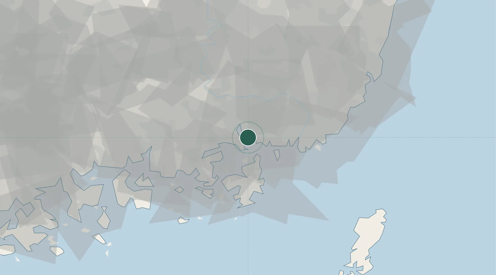
Nearby Logistics Neighbours

Cities
  1. 1Masan11 km
  2. 2Busan New Port16 km
  3. 3Changwon17 km
  4. 4Koryong19 km
  5. 5Haman-gun27 km
Nearest neighbours — logibook spatial index (haversine) over the source coordinates
Ports
  1. 1Masan9 km
  2. 2Busan35 km
  3. 3Ulsan77 km
  4. 4Gwangyang Hang86 km
  5. 5Izuhara120 km
Nearest neighbours — logibook spatial index (haversine) over the source coordinates
Airports
  1. 1Gimhae International Airport27 km
  2. 2Sacheon Airport / Sacheon Air Base53 km
  3. 3Ulsan Airport82 km
  4. 4Daegu International Airport85 km
  5. 5Yeosu Airport100 km
Nearest neighbours — logibook spatial index (haversine) over the source coordinates
Trade Zones
  1. 1Namsan District Recreational Zone6 km
  2. 2Changwon National Industrial Complex9 km
  3. 3Ungcheon District Recreational Zone9 km
  4. 4Nammoon Foreign Investment Zone10 km
  5. 5Masan Free Trade Zone10 km
Nearest neighbours — logibook spatial index (haversine) over the source coordinates
DatabookThe Record of Consolidated Knowledge
South Korea beyond logistics?
Browse databook

All Sources

LocationsUN/LOCODE
UN/LOCODE — free
Portsthe NGA World Port Index
Public domain (US gov)
AirportsOurAirports
Public domain
Trade Zonesthe World Bank SEZ database
CC BY 4.0
Trade ZonesOpen Zone Map
CC BY
← South Korea locations