Industrial Complex · South Korea
Busan Science General Industrial Complex Active
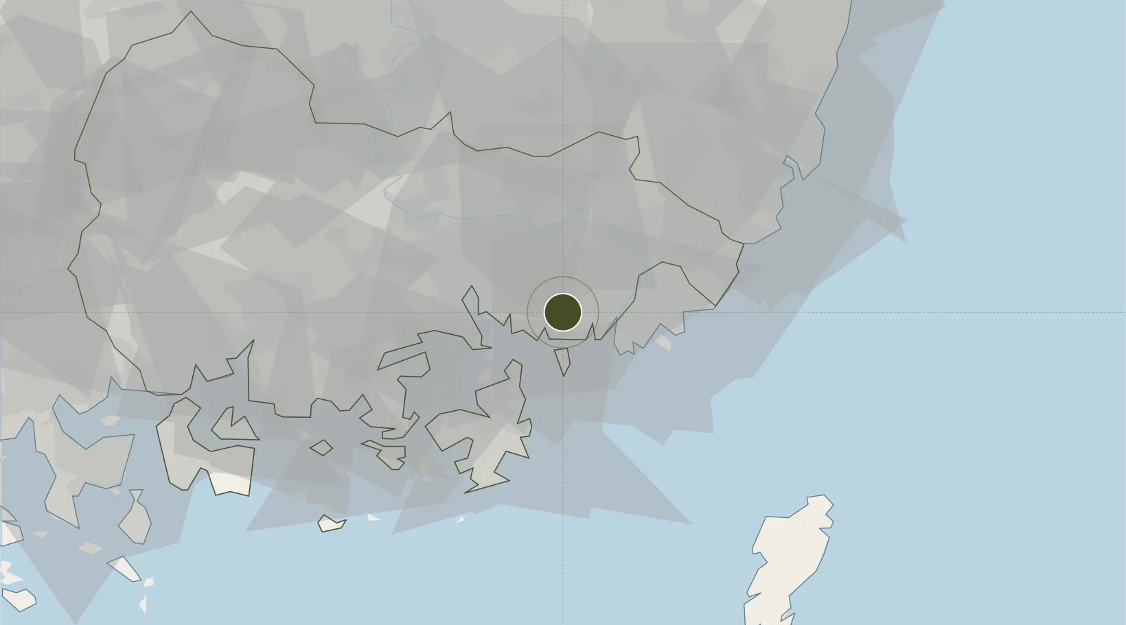
35.1484°, 128.8253°
196 ha
Zone area
16.0 km
Nearest port
10.8 km
Nearest airport
Gateway access
Zone profile
Zone type
Industrial Complex
Specialization
Tech
Region
South Gyeongsang
Status
Active
Established
2007
Management
State-owned enterprise
Operator
KICOX
Regulatory authority
National, provincial or city-level governments
Legal framework
Industrial Sites and Development Act, and the Industrial Placement and Factory Act
Location
Fiscal & incentives
Corporate tax
22%
Tax relief
100% exempt
Relief duration
5 years
VAT
No exemption
Import duty (inputs)
0% exempt
Import duty (capex)
100% exempt
Profit repatriation
No exemption
Capital gains
No exemption
Withholding tax
No exemption
Min. investment
$30M
Min. export
0%
Employment incentive
Employment and training subsidies available to companies that newly employ 20 more individuals
Developer incentive
No established framework
Nearby Logistics Neighbours
Ports
- 1Chinae16 km
- 2Busan20 km
- 3Masan24 km
- 4Ulsan62 km
- 5Gwangyang Hang102 km
Airports
- 1Gimhae International Airport11 km
- 2Ulsan Airport69 km
- 3Sacheon Airport / Sacheon Air Base69 km
- 4Daegu International Airport84 km
- 5Tsushima Airport107 km
Cities
- 1Changwon6 km
- 2Busan New Port7 km
- 3Busan13 km
- 4Koryong14 km
- 5Jinhae16 km
DatabookThe Record of Consolidated Knowledge
South Korea beyond logistics?