Specialized Zone · South Korea
Bobae District Professional Education and R & D Centers Zone Under Development
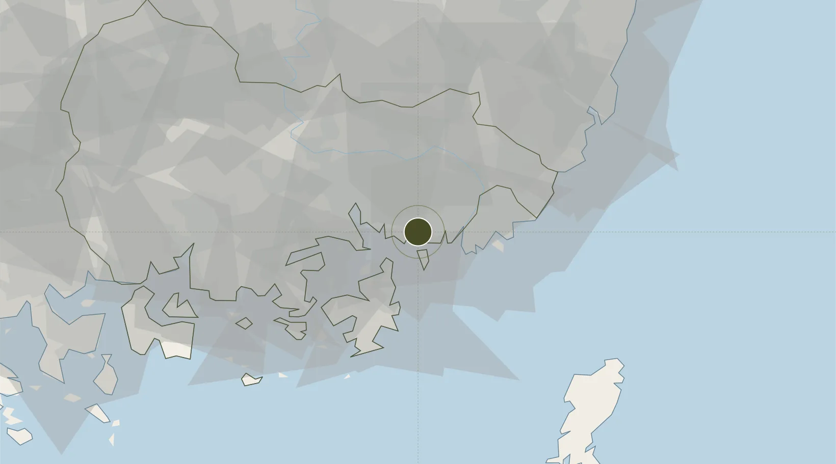
35.1183°, 128.8076°
78 ha
Zone area
14.4 km
Nearest port
13.7 km
Nearest airport
Gateway access
Zone profile
Zone type
Specialized Zone
Specialization
Education
Region
South Gyeongsang
Status
Under Development
Management
Public
Operator
Busan-Jinhae Free Economic Zone Authority
Legal framework
Special Act On Designation And Management Of Free Economic Zones Expand Act No. 15309, Dec. 26, 2017, Foreign Investment Promotion Act: Expand Act No. 16131, Dec. 31, 2018.
Location
Nearby Logistics Neighbours
Ports
- 1Chinae14 km
- 2Busan21 km
- 3Masan23 km
- 4Ulsan65 km
- 5Gwangyang Hang99 km
Airports
- 1Gimhae International Airport14 km
- 2Sacheon Airport / Sacheon Air Base67 km
- 3Ulsan Airport72 km
- 4Daegu International Airport87 km
- 5Tsushima Airport104 km
Cities
- 1Changwon4 km
- 2Busan New Port4 km
- 3Busan14 km
- 4Jinhae14 km
- 5Koryong17 km
DatabookThe Record of Consolidated Knowledge
South Korea beyond logistics?