UN/LOCODE hub · South Korea
KRBNP

Busan New Port

35.0833°, 128.8167°
1
Transport functions

Transport Functions

Port
UN/LOCODE

Hub Profile

Region
26
GeoNames

Location

Location of KRBNP
Natural Earth 10m (public domain) · 26 · KRBNP · 35.08, 128.82GoogleOSMYandex

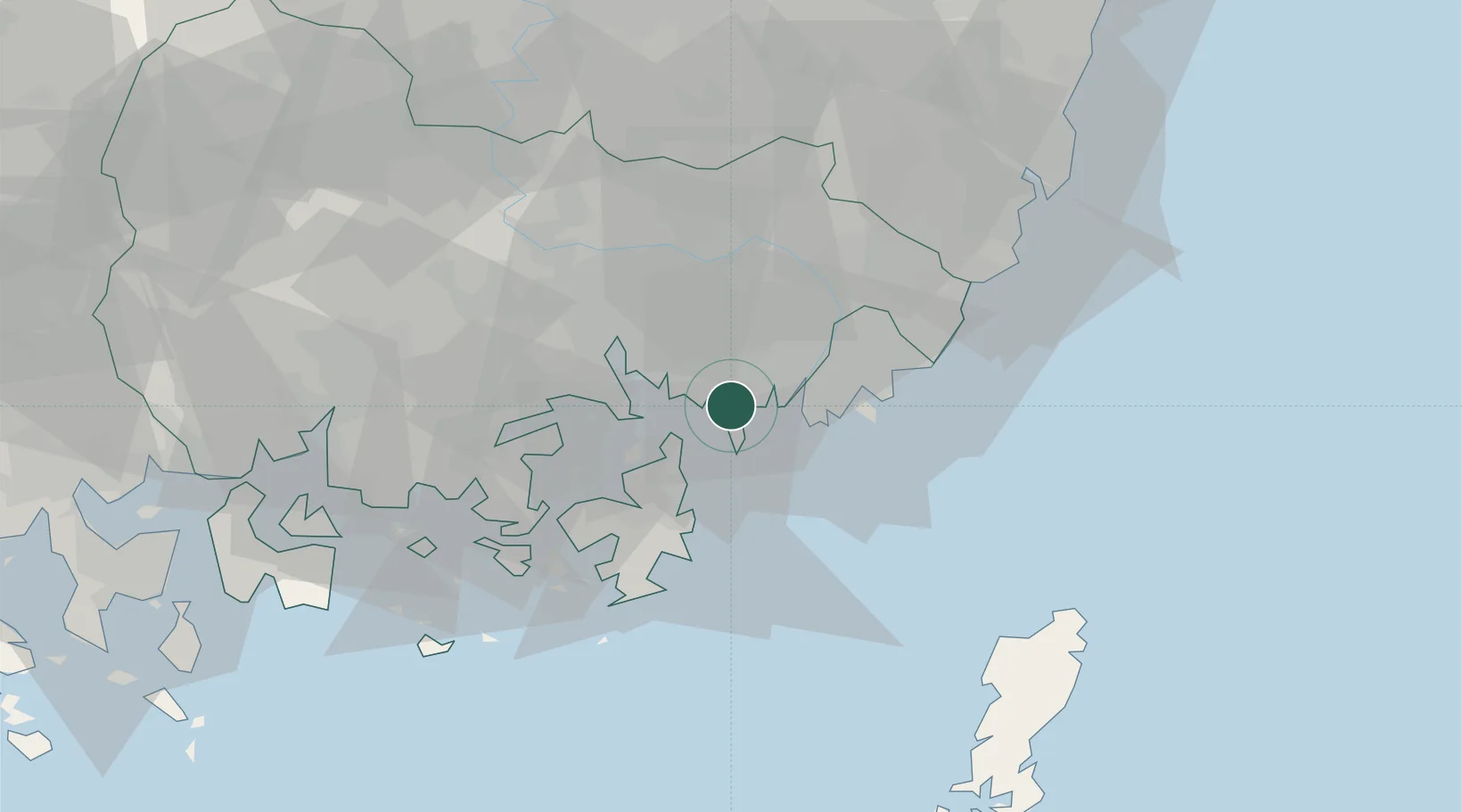
Nearby Logistics Neighbours

Cities
  1. 1Changwon1 km
  2. 2Busan14 km
  3. 3Jinhae16 km
  4. 4Gamcheon/Busan17 km
  5. 5Koryong21 km
Nearest neighbours — logibook spatial index (haversine) over the source coordinates
Ports
  1. 1Chinae16 km
  2. 2Busan20 km
  3. 3Masan25 km
  4. 4Ulsan67 km
  5. 5Gwangyang Hang99 km
Nearest neighbours — logibook spatial index (haversine) over the source coordinates
Airports
  1. 1Gimhae International Airport15 km
  2. 2Sacheon Airport / Sacheon Air Base68 km
  3. 3Ulsan Airport75 km
  4. 4Daegu International Airport91 km
  5. 5Tsushima Airport101 km
Nearest neighbours — logibook spatial index (haversine) over the source coordinates
DatabookThe Record of Consolidated Knowledge
South Korea beyond logistics?
Browse databook

All Sources

LocationsUN/LOCODE
UN/LOCODE — free
Portsthe NGA World Port Index
Public domain (US gov)
AirportsOurAirports
Public domain
Trade Zonesthe World Bank SEZ database
CC BY 4.0
Trade ZonesOpen Zone Map
CC BY
← South Korea locations