UN/LOCODE hub · South Korea
KRCHW
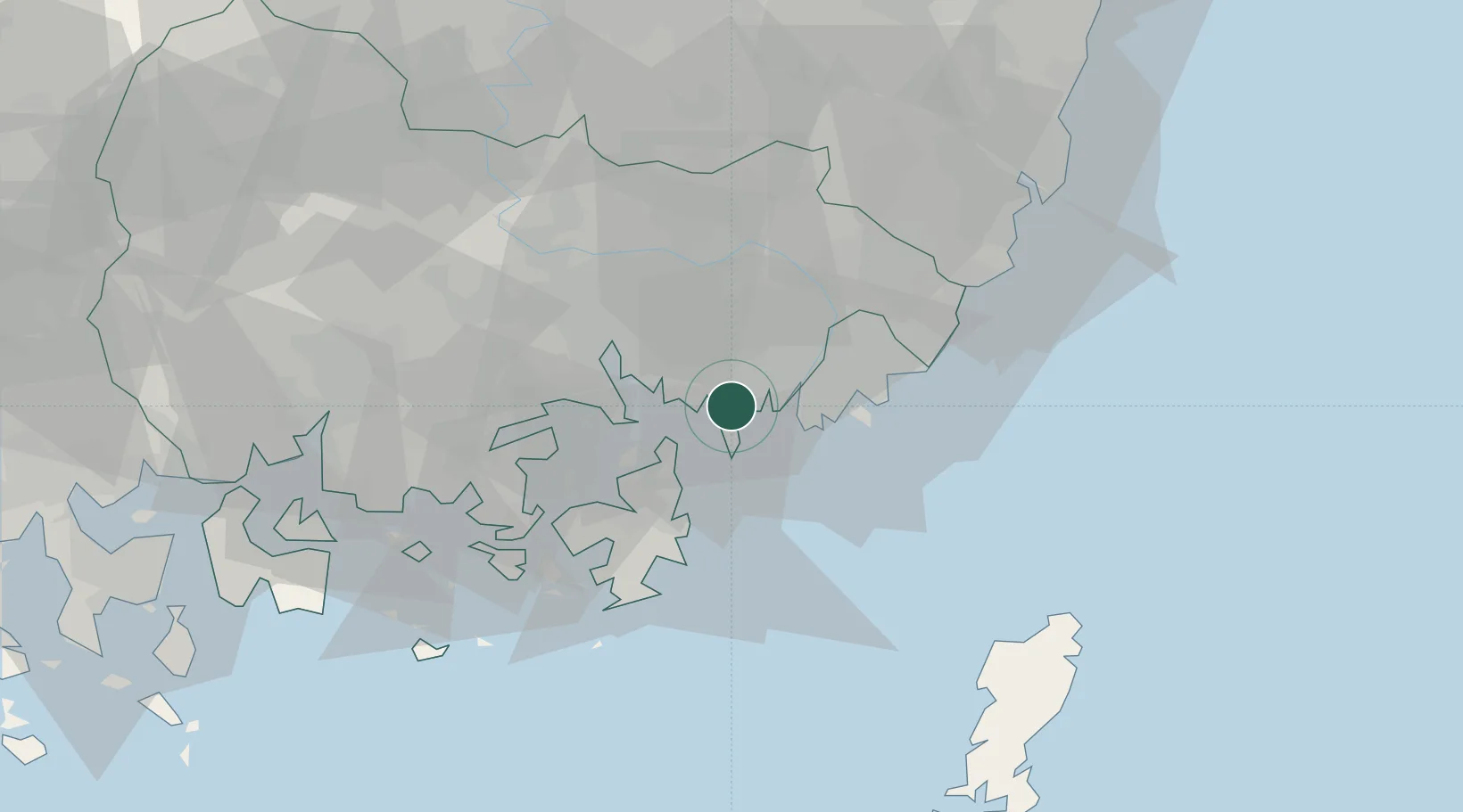
Changwon
35.0906°, 128.8269°
1,025,702
Population
2
Transport functions
Transport Functions
Rail
Road
Hub Profile
Place type
Regional capital
Region
Gyeongsangnam-do
Population
1,025,702
Time zone
Asia/Seoul
Elevation
27 m
Logistics facilities
1
Location
Nearby Logistics Neighbours
Cities
- 1Busan New Port1 km
- 2Busan13 km
- 3Gamcheon/Busan16 km
- 4Jinhae17 km
- 5Koryong20 km
Ports
- 1Chinae17 km
- 2Busan19 km
- 3Masan26 km
- 4Ulsan66 km
- 5Gwangyang Hang100 km
Airports
- 1Gimhae International Airport14 km
- 2Sacheon Airport / Sacheon Air Base69 km
- 3Ulsan Airport74 km
- 4Daegu International Airport91 km
- 5Tsushima Airport101 km
DatabookThe Record of Consolidated Knowledge
South Korea beyond logistics?