Medium airport · Japan

Tsushima AirportRJDT
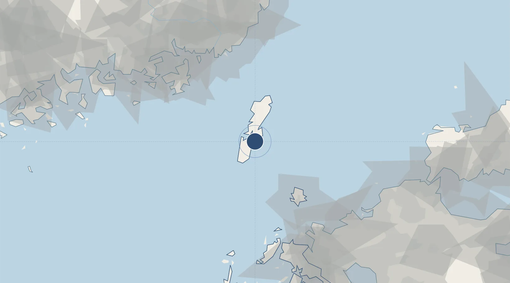
34.2849°, 129.3310°
6,234 ft
Longest runway
1
Runways
213 ft
Elevation

Runway & Layout

Tsushima Airport runway & taxiway layout
Runway & taxiway layout — OpenStreetMap (ODbL) / OurAirports

Radio Frequencies

RDO
124.3 MHz
OurAirports

Navaids

VC NDB Tsushima 393 kHz
VCE VOR-DME Tsushima 111.45 MHz
OurAirports

Runways · 1

RunwayDimensions SurfaceTrue headingLit
14/32 6,234 × 150ft Asphalt 136°
OurAirports

Airport Specifications

IATA code
TSJ
OurAirports
ICAO code
RJDT
OurAirports
Airport class
Medium airport
OurAirports
Scheduled service
Yes
OurAirports
Runway surface
Asphalt
OurAirports
Served city
Tsushima
OurAirports

Location

Location of RJDT
Natural Earth 10m (public domain) · Nagasaki · RJDT · 34.28, 129.33GoogleOSMYandex

Nearby Logistics Neighbours

Airports
  1. 1Iki Airport73 km
  2. 2Gimhae International Airport106 km
  3. 3Fukuoka Airport129 km
  4. 4JASDF Ashiya Air Base130 km
  5. 5Ulsan Airport146 km
Nearest neighbours — logibook spatial index (haversine) over the source coordinates
Cities
  1. 1Kukdo87 km
  2. 2Okpo/Geoje88 km
  3. 3South Busan90 km
  4. 4Geoje93 km
  5. 5Koje93 km
Nearest neighbours — logibook spatial index (haversine) over the source coordinates
Ports
  1. 1Izuhara10 km
  2. 2Busan95 km
  3. 3Karatsu107 km
  4. 4Chinae113 km
  5. 5Masan122 km
Nearest neighbours — logibook spatial index (haversine) over the source coordinates
DatabookThe Record of Consolidated Knowledge
Japan beyond logistics?
Browse databook

All Sources

AirportsOurAirports
Public domain
Portsthe NGA World Port Index
Public domain (US gov)
LocationsUN/LOCODE
UN/LOCODE — free
Trade Zonesthe World Bank SEZ database
CC BY 4.0
Trade ZonesOpen Zone Map
CC BY
InfrastructureOpenStreetMap
ODbL 1.0
← Japan airports