UN/LOCODE hub · Serbia
RSSZE
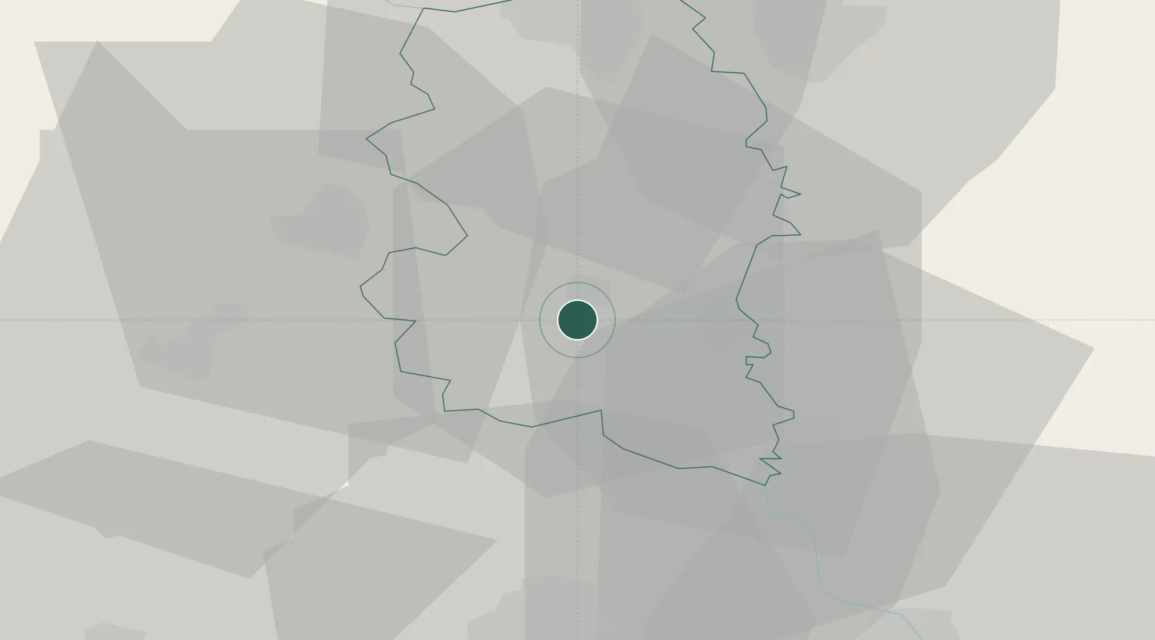
Smederevska Palanka
44.3500°, 20.9500°
27,000
Population
1
Transport functions
Transport Functions
Multimodal
Hub Profile
Place type
District seat
Region
Central Serbia
Population
27,000
Time zone
Europe/Belgrade
Elevation
119 m
Location
Nearby Logistics Neighbours
Cities
- 1Lozovik18 km
- 2Pozarevac33 km
- 3Smederevo34 km
- 4Kragujevac37 km
- 5Kovin45 km
Airports
- 1Morava Airport66 km
- 2Belgrade Nikola Tesla Airport73 km
- 3Batajnica Air Base85 km
- 4Ponikve Airport112 km
- 5Niš Constantine the Great Airport134 km
Trade Zones
- 1Svilajnac Free Zone23 km
- 2Smederevo Free Zone36 km
- 3FAS Free Zone Kragujevac39 km
- 4Beograd Free Zone65 km
- 5Kruševac Free Zone93 km
DatabookThe Record of Consolidated Knowledge
Serbia beyond logistics?