Transport Functions
Rail
Road
Hub Profile
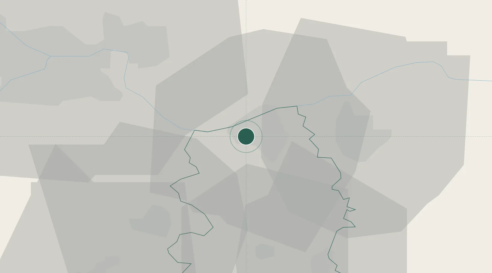
Place type
Provincial seat
Region
Central Serbia
Population
62,000
Time zone
Europe/Belgrade
Elevation
80 m
Location
Nearby Logistics Neighbours
Cities
- 1Kovin12 km
- 2Pozarevac21 km
- 3Lozovik25 km
- 4Smederevska Palanka34 km
- 5Pancevo36 km
Airports
- 1Belgrade Nikola Tesla Airport52 km
- 2Batajnica Air Base61 km
- 3Morava Airport96 km
- 4Ponikve Airport128 km
- 5Timișoara Traian Vuia International Airport133 km
Trade Zones
- 1Smederevo Free Zone3 km
- 2Beograd Free Zone39 km
- 3Svilajnac Free Zone50 km
- 4FAS Free Zone Kragujevac73 km
- 5Zrenjanin Free Zone91 km
DatabookThe Record of Consolidated Knowledge
Serbia beyond logistics?