Transport Functions
Rail
Road
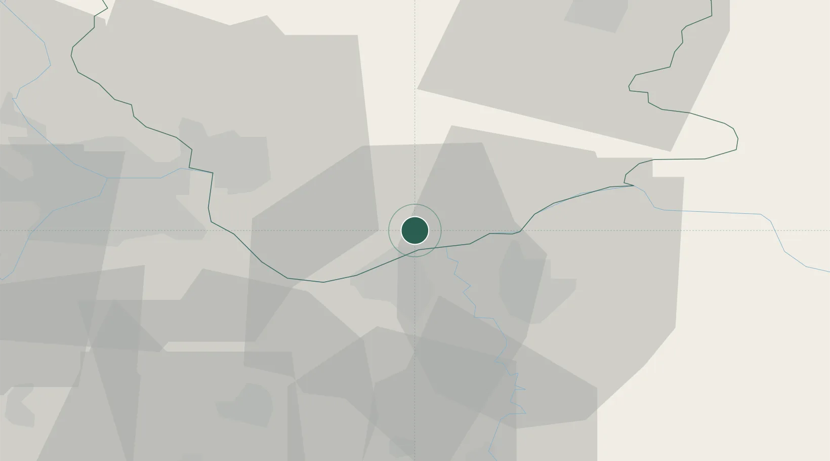
Hub Profile
Place type
District seat
Region
Vojvodina
Population
14,250
Time zone
Europe/Belgrade
Elevation
78 m
Location
Nearby Logistics Neighbours
Cities
- 1Smederevo12 km
- 2Pozarevac22 km
- 3Vladimirovac31 km
- 4Banatski Karlovac32 km
- 5Bazias32 km
Airports
- 1Belgrade Nikola Tesla Airport54 km
- 2Batajnica Air Base61 km
- 3Morava Airport108 km
- 4Timișoara Traian Vuia International Airport121 km
- 5Caransebeş Airport124 km
Trade Zones
- 1Smederevo Free Zone10 km
- 2Beograd Free Zone40 km
- 3Svilajnac Free Zone58 km
- 4Zrenjanin Free Zone84 km
- 5FAS Free Zone Kragujevac84 km
DatabookThe Record of Consolidated Knowledge
Serbia beyond logistics?