Transport Functions
Rail
Road
Airport
Hub Profile
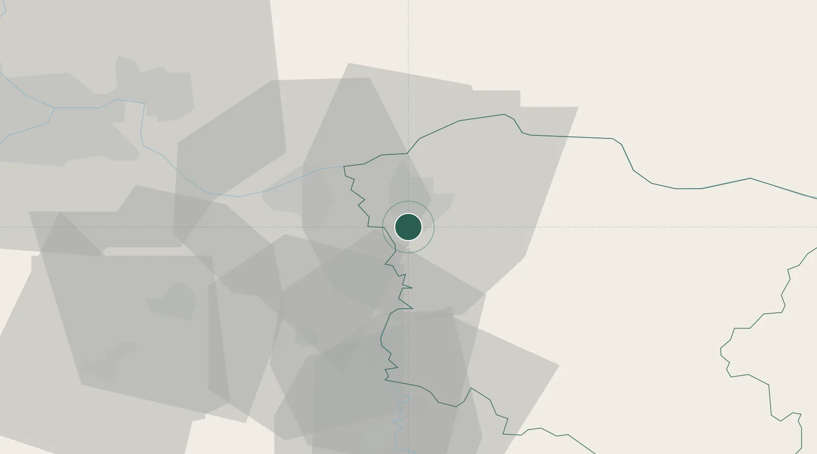
Place type
Provincial seat
Region
Central Serbia
Population
41,736
Time zone
Europe/Belgrade
Elevation
80 m
Location
Nearby Logistics Neighbours
Cities
- 1Lozovik16 km
- 2Smederevo21 km
- 3Kovin22 km
- 4Bazias28 km
- 5Veliko Gradiste31 km
Airports
- 1Belgrade Nikola Tesla Airport72 km
- 2Batajnica Air Base81 km
- 3Morava Airport99 km
- 4Caransebeş Airport125 km
- 5Timișoara Traian Vuia International Airport135 km
Trade Zones
- 1Smederevo Free Zone20 km
- 2Svilajnac Free Zone39 km
- 3Beograd Free Zone60 km
- 4FAS Free Zone Kragujevac70 km
- 5Zrenjanin Free Zone106 km
DatabookThe Record of Consolidated Knowledge
Serbia beyond logistics?