Transport Functions
Rail
Road
Hub Profile
Place type
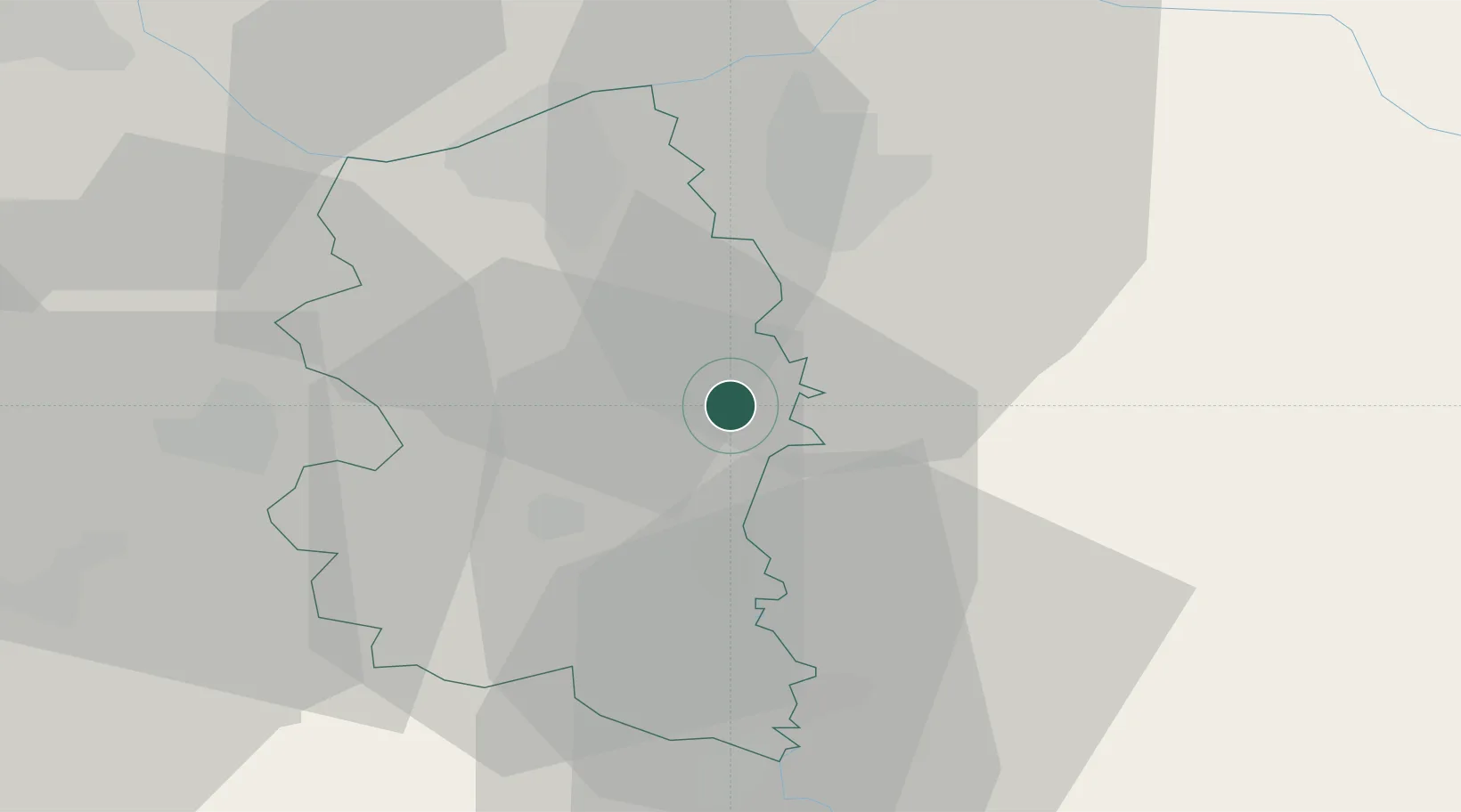
Populated place
Region
Central Serbia
Time zone
Europe/Belgrade
Elevation
85 m
Location
Nearby Logistics Neighbours
Cities
- 1Pozarevac16 km
- 2Smederevska Palanka18 km
- 3Smederevo25 km
- 4Kovin33 km
- 5Bazias43 km
Airports
- 1Belgrade Nikola Tesla Airport74 km
- 2Morava Airport83 km
- 3Batajnica Air Base85 km
- 4Ponikve Airport128 km
- 5Niš Constantine the Great Airport140 km
Trade Zones
- 1Svilajnac Free Zone25 km
- 2Smederevo Free Zone26 km
- 3FAS Free Zone Kragujevac55 km
- 4Beograd Free Zone63 km
- 5Kruševac Free Zone102 km
DatabookThe Record of Consolidated Knowledge
Serbia beyond logistics?