Transport Functions
Rail
Road
Hub Profile
Place type
Provincial seat
Region
Central Serbia
Population
55,114
Time zone
Europe/Belgrade
Elevation
79 m
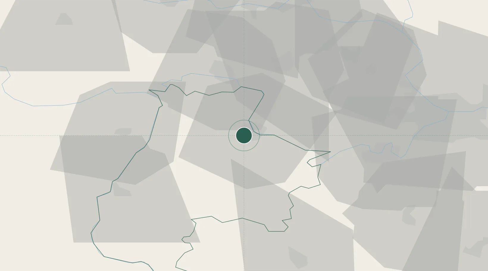
Location
Nearby Logistics Neighbours
Cities
- 1Sremska Mitrovica24 km
- 2Mesarci25 km
- 3Voganj28 km
- 4Lacarak29 km
- 5Ruma30 km
Airports
- 1Batajnica Air Base50 km
- 2Belgrade Nikola Tesla Airport50 km
- 3Tuzla International Airport83 km
- 4Ponikve Airport95 km
- 5Osijek Airport105 km
Trade Zones
- 1ō abac Free Zone39 km
- 2Novi Sad Free Zone59 km
- 3Beograd Free Zone64 km
- 4Podunavska Gospodarska Zona Vukovar85 km
- 5Zrenjanin Free Zone88 km
DatabookThe Record of Consolidated Knowledge
Serbia beyond logistics?