Transport Functions
Multimodal
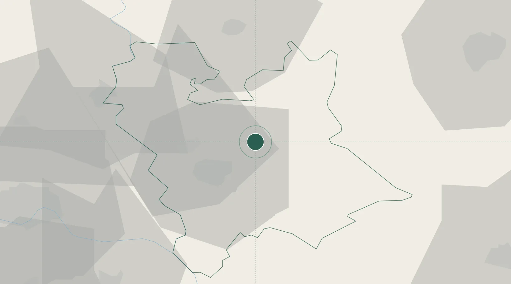
Hub Profile
Place type
District seat
Region
Vojvodina
Population
3,060
Time zone
Europe/Belgrade
Elevation
78 m
Location
Nearby Logistics Neighbours
Airports
Trade Zones
- 1Zrenjanin Free Zone17 km
- 2Novi Sad Free Zone59 km
- 3VGP Park Timisoara61 km
- 4Beograd Free Zone73 km
- 5VGP Park Arad94 km
DatabookThe Record of Consolidated Knowledge
Serbia beyond logistics?