Transport Functions
Multimodal
Hub Profile
Place type
Populated place
Region
Vojvodina
Population
18,018
Time zone
Europe/Belgrade
Elevation
78 m
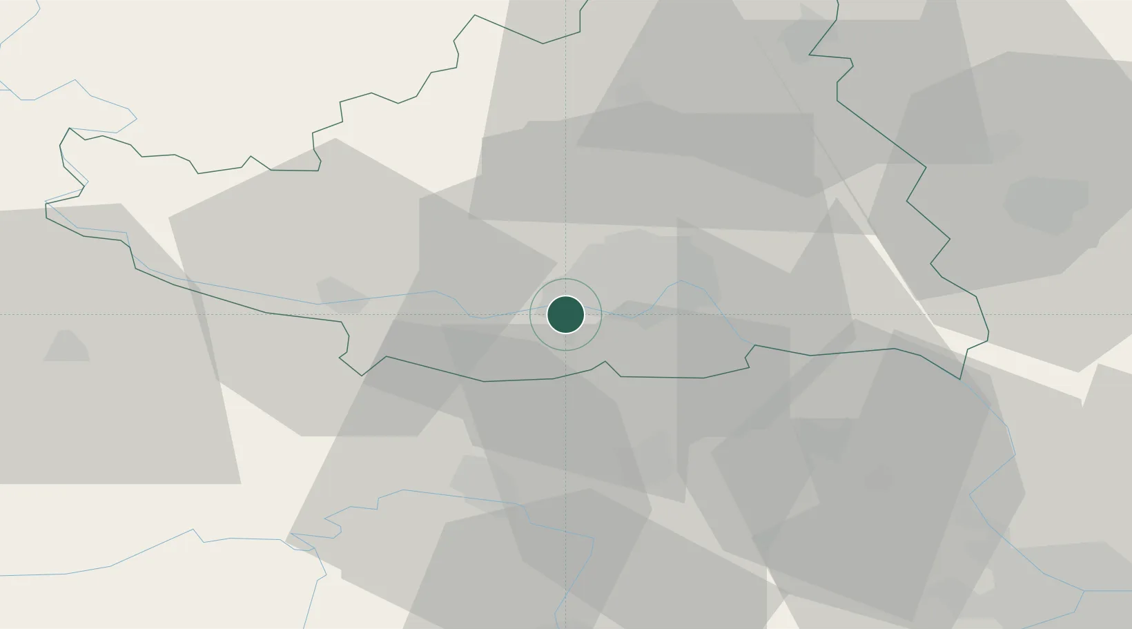
Location
Nearby Logistics Neighbours
Cities
- 1Veternik3 km
- 2Novi Sad12 km
- 3Celarevo16 km
- 4Backi Petrovac17 km
- 5Sremski Karlovci17 km
Airports
Trade Zones
- 1Novi Sad Free Zone11 km
- 2Zrenjanin Free Zone54 km
- 3Podunavska Gospodarska Zona Vukovar58 km
- 4Beograd Free Zone75 km
- 5Apatin Free Zone77 km
DatabookThe Record of Consolidated Knowledge
Serbia beyond logistics?