Transport Functions
Rail
Road
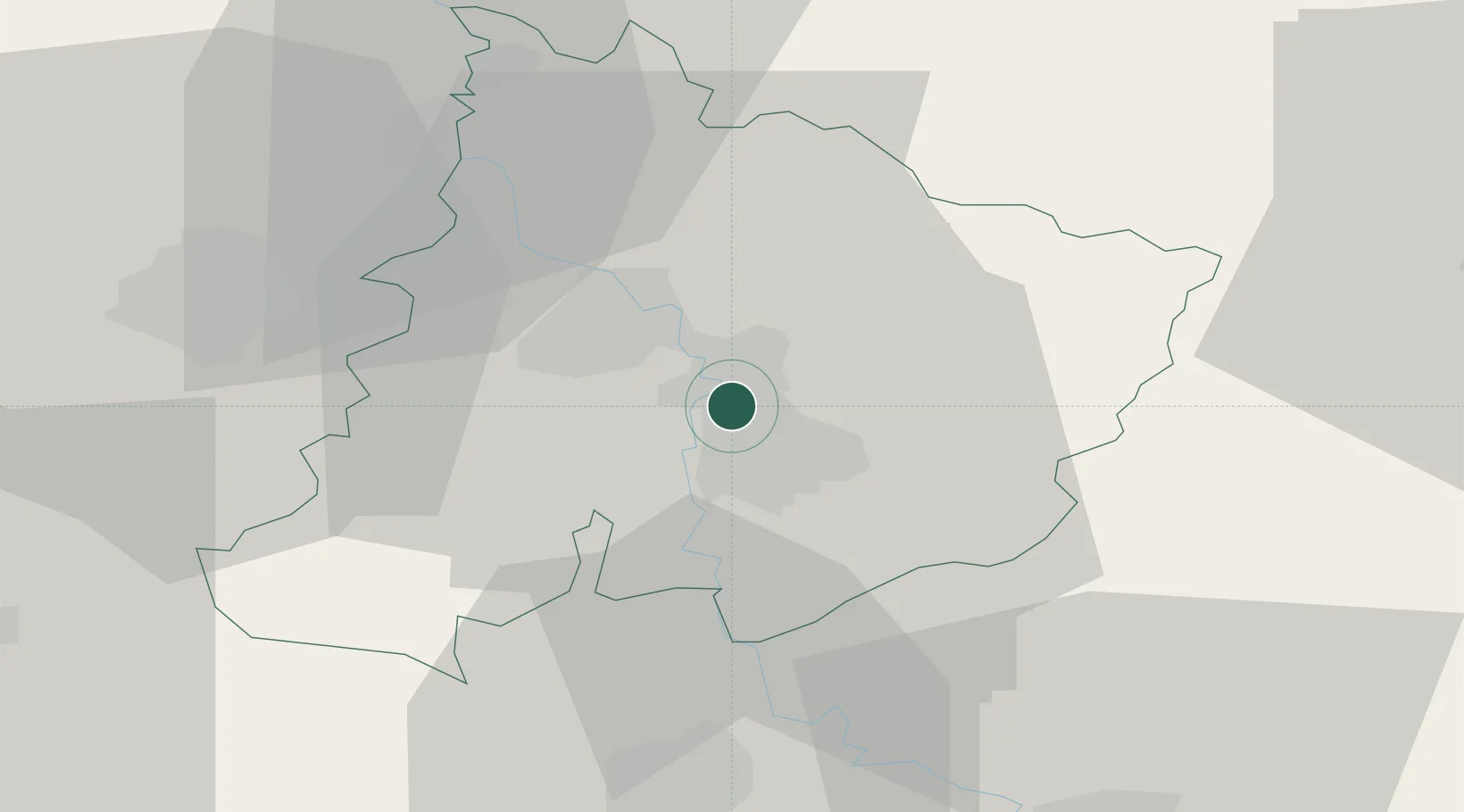
Hub Profile
Place type
District seat
Region
Central Serbia
Population
20,585
Time zone
Europe/Belgrade
Elevation
124 m
Location
Nearby Logistics Neighbours
Cities
- 1Parain8 km
- 2Paracin9 km
- 3Jagodina11 km
- 4Krusevac38 km
- 5Kragujevac39 km
Airports
- 1Morava Airport65 km
- 2Niš Constantine the Great Airport77 km
- 3Belgrade Nikola Tesla Airport130 km
- 4Ponikve Airport135 km
- 5Batajnica Air Base143 km
Trade Zones
- 1Svilajnac Free Zone38 km
- 2FAS Free Zone Kragujevac39 km
- 3Kruševac Free Zone40 km
- 4Smederevo Free Zone89 km
- 5Vidin Free Trade Zone98 km
DatabookThe Record of Consolidated Knowledge
Serbia beyond logistics?