Transport Functions
Rail
Road
Hub Profile
Place type
Provincial seat
Region
Central Serbia
Population
35,589
Time zone
Europe/Belgrade
Elevation
120 m
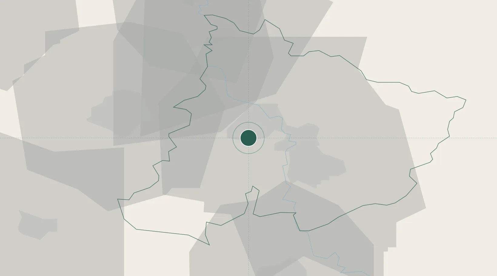
Location
Nearby Logistics Neighbours
Cities
- 1Cuprija11 km
- 2Parain16 km
- 3Paracin18 km
- 4Kragujevac27 km
- 5Krusevac42 km
Airports
- 1Morava Airport56 km
- 2Niš Constantine the Great Airport85 km
- 3Belgrade Nikola Tesla Airport121 km
- 4Ponikve Airport125 km
- 5Batajnica Air Base133 km
Trade Zones
- 1FAS Free Zone Kragujevac28 km
- 2Svilajnac Free Zone32 km
- 3Kruševac Free Zone45 km
- 4Smederevo Free Zone82 km
- 5Uō¾ice Free Zone109 km
DatabookThe Record of Consolidated Knowledge
Serbia beyond logistics?