Free Trade Zone · Serbia

Kruševac Free Zone Active
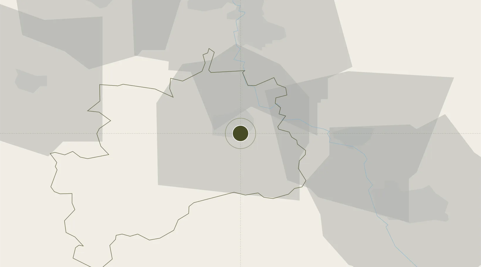
43.5728°, 21.3605°
64 ha
Zone area
242.5 km
Nearest port
47.9 km
Nearest airport

Gateway access

Nearest neighbours — logibook spatial index (haversine) over the source coordinates

Zone profile

Zone type
Free Trade Zone
Open Zone Map
Region
Pomoravski
Open Zone Map
Status
Active
Open Zone Map
Management
Public-Private Partnership
Open Zone Map
Operator
Slobodna Zona D.O.O.
Open Zone Map
Legal framework
Free Zone Law 62/2006
Open Zone Map

Location

Location of ozm-4116
Natural Earth 10m (public domain) · Pomoravski · ozm-4116 · 43.57, 21.36GoogleOSMYandex

Nearby Logistics Neighbours

Ports
  1. 1Shengjin243 km
  2. 2Risan246 km
  3. 3Kotor247 km
  4. 4Bar249 km
  5. 5Tivat251 km
Nearest neighbours — logibook spatial index (haversine) over the source coordinates
Airports
  1. 1Niš Constantine the Great Airport48 km
  2. 2Morava Airport68 km
  3. 3Priština Adem Jashari International Airport114 km
  4. 4Ponikve Airport138 km
  5. 5Belgrade Nikola Tesla Airport162 km
Nearest neighbours — logibook spatial index (haversine) over the source coordinates
Cities
  1. 1Krusevac3 km
  2. 2Paracin31 km
  3. 3Parain33 km
  4. 4Cuprija40 km
  5. 5Prokuplje42 km
Nearest neighbours — logibook spatial index (haversine) over the source coordinates
Trade Zones
  1. 1FAS Free Zone Kragujevac60 km
  2. 2Svilajnac Free Zone77 km
  3. 3Business Park in Mirovicë86 km
  4. 4Free Economic Zone in Mitrovica87 km
  5. 5Industrial Park in Mitrovica87 km
Nearest neighbours — logibook spatial index (haversine) over the source coordinates
DatabookThe Record of Consolidated Knowledge
Serbia beyond logistics?
Browse databook

All Sources

Trade ZonesOpen Zone Map
CC BY
Portsthe NGA World Port Index
Public domain (US gov)
AirportsOurAirports
Public domain
LocationsUN/LOCODE
UN/LOCODE — free
← Serbia trade zones