Large airport · Serbia

Niš Constantine the Great AirportLYNI
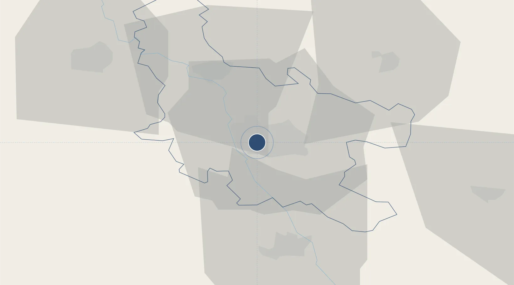
43.3365°, 21.8562°
8,202 ft
Longest runway
1
Runways
648 ft
Elevation

Runway & Layout

Niš Constantine the Great Airport runway & taxiway layout
Runway & taxiway layout — OpenStreetMap (ODbL) / OurAirports

Radio Frequencies

TWR
118.95 MHz
Nis Tower
APP
119.525 MHz
Nis Approach
EMERG
121.5 MHz
TWR/APP ALTN
136.075 MHz
OurAirports

Navaids

NIS VOR-DME Nis 113.90 MHz
OurAirports

Runways · 1

RunwayDimensions SurfaceTrue headingLit
11/29 8,202 × 148ft Asphalt 113°
OurAirports

Airport Specifications

IATA code
INI
OurAirports
ICAO code
LYNI
OurAirports
Airport class
Large airport
OurAirports
Scheduled service
Yes
OurAirports
Runway surface
Asphalt
OurAirports
Served city
Niš
OurAirports

Location

Location of LYNI
Natural Earth 10m (public domain) · Nišavski · LYNI · 43.34, 21.86GoogleOSMYandex

Nearby Logistics Neighbours

Airports
  1. 1Priština Adem Jashari International Airport108 km
  2. 2Morava Airport115 km
  3. 3Sofia Airport146 km
  4. 4Skopje International Airport155 km
  5. 5Ponikve Airport185 km
Nearest neighbours — logibook spatial index (haversine) over the source coordinates
Cities
  1. 1Nis1 km
  2. 2Prokuplje25 km
  3. 3Leskovac40 km
  4. 4Knjazevac41 km
  5. 5Krusevac50 km
Nearest neighbours — logibook spatial index (haversine) over the source coordinates
Ports
  1. 1Shengjin250 km
  2. 2Bar266 km
  3. 3Kotor272 km
  4. 4Risan273 km
  5. 5Tivat276 km
Nearest neighbours — logibook spatial index (haversine) over the source coordinates
Trade Zones
  1. 1Kruševac Free Zone48 km
  2. 2Vidin Free Trade Zone60 km
  3. 3Pirot Free Zone61 km
  4. 4Vranje Free Zone88 km
  5. 5Business Park in Vushtrri91 km
Nearest neighbours — logibook spatial index (haversine) over the source coordinates
DatabookThe Record of Consolidated Knowledge
Serbia beyond logistics?
Browse databook

All Sources

AirportsOurAirports
Public domain
Portsthe NGA World Port Index
Public domain (US gov)
LocationsUN/LOCODE
UN/LOCODE — free
Trade Zonesthe World Bank SEZ database
CC BY 4.0
Trade ZonesOpen Zone Map
CC BY
InfrastructureOpenStreetMap
ODbL 1.0
← Serbia airports