Transport Functions
Rail
Road
Hub Profile
Place type
Provincial seat
Region
Central Serbia
Population
147,473
Time zone
Europe/Belgrade
Elevation
182 m
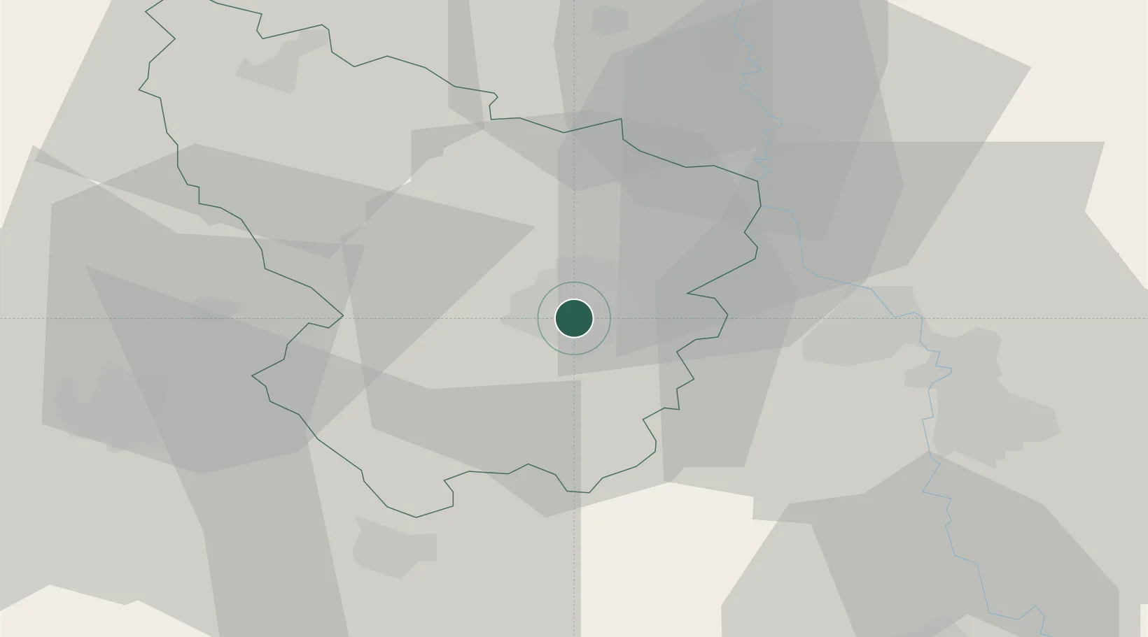
Location
Nearby Logistics Neighbours
Cities
- 1Knic20 km
- 2Jagodina27 km
- 3Bresnica32 km
- 4Smederevska Palanka37 km
- 5Gornji Milanovac37 km
Airports
- 1Morava Airport35 km
- 2Ponikve Airport98 km
- 3Belgrade Nikola Tesla Airport101 km
- 4Niš Constantine the Great Airport107 km
- 5Batajnica Air Base115 km
Trade Zones
- 1FAS Free Zone Kragujevac2 km
- 2Svilajnac Free Zone35 km
- 3Kruševac Free Zone61 km
- 4Smederevo Free Zone73 km
- 5Uō¾ice Free Zone84 km
DatabookThe Record of Consolidated Knowledge
Serbia beyond logistics?