Free Trade Zone · Saudi Arabia

Jeddah Industrial City (Second) Active
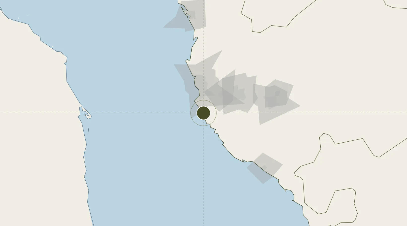
21.1094°, 39.2401°
800 ha
Zone area
42.0 km
Nearest port
27.4 km
Nearest airport

Gateway access

Nearest neighbours — logibook spatial index (haversine) over the source coordinates

Zone profile

Zone type
Free Trade Zone
Open Zone Map
Region
Makkah
Open Zone Map
Status
Active
Open Zone Map
Management
Public
Open Zone Map
Operator
Saudi Authority for Industrial Estates and Technology Zones
Open Zone Map
Legal framework
Ministerial Legislation No. 235 dated 27/8/1422H
Open Zone Map

Location

Location of ozm-4076
Natural Earth 10m (public domain) · Makkah · ozm-4076 · 21.11, 39.24GoogleOSMYandex

Nearby Logistics Neighbours

Ports
  1. 1Jiddah42 km
  2. 2Rabigh183 km
  3. 3Port Sudan268 km
  4. 4Sawakin Harbor295 km
  5. 5Yanbu353 km
Nearest neighbours — logibook spatial index (haversine) over the source coordinates
Airports
  1. 1King Faisal Naval Base27 km
  2. 2King Abdulaziz International Airport64 km
  3. 3Mecca East Airport86 km
  4. 4Taif International Airport141 km
  5. 5King Saud Bin Abdulaziz (Al Baha) Airport265 km
Nearest neighbours — logibook spatial index (haversine) over the source coordinates
Cities
  1. 1Jeddah29 km
  2. 2Tusdeer Free Zone43 km
  3. 3Shuaibah55 km
  4. 4Jeddah Yachts Club Port62 km
  5. 5King Abdullah City152 km
Nearest neighbours — logibook spatial index (haversine) over the source coordinates
Trade Zones
  1. 1Jeddah Industrial City (Third)9 km
  2. 2Jeddah Industrial City (First)36 km
  3. 3Makkah Industrial City71 km
  4. 4Jeddah Modon Oasis88 km
  5. 5King Abdullah Economic City149 km
Nearest neighbours — logibook spatial index (haversine) over the source coordinates
DatabookThe Record of Consolidated Knowledge
Saudi Arabia beyond logistics?
Browse databook

All Sources

Trade ZonesOpen Zone Map
CC BY
Portsthe NGA World Port Index
Public domain (US gov)
AirportsOurAirports
Public domain
LocationsUN/LOCODE
UN/LOCODE — free
← Saudi Arabia trade zones