UN/LOCODE hub · Saudi Arabia
SAJED
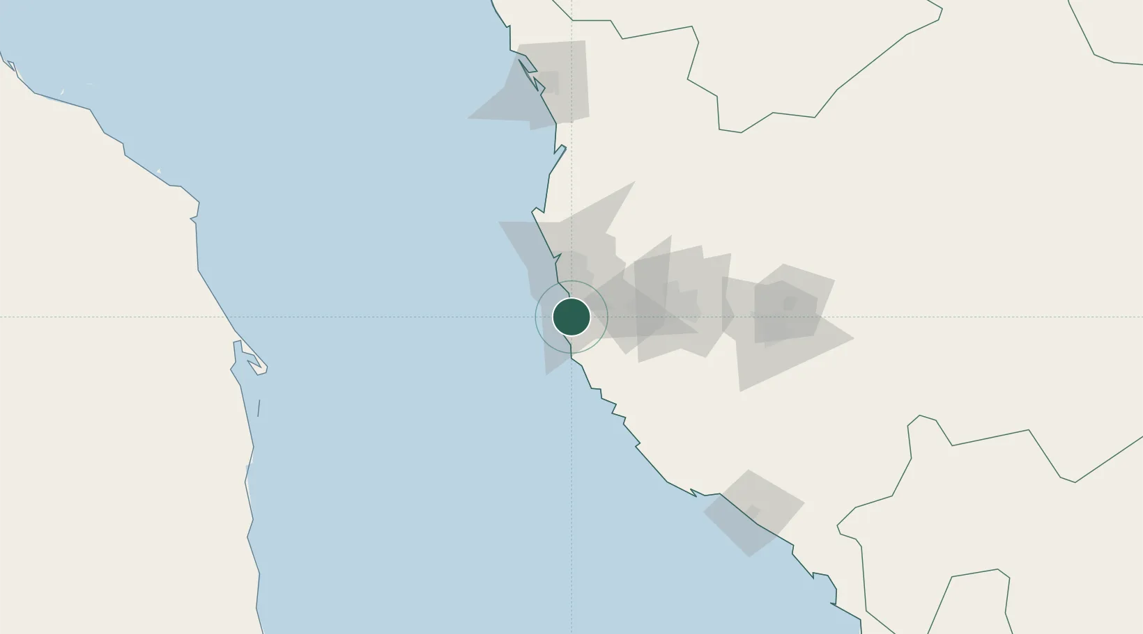
Jeddah
21.3627°, 39.1754°
4,697,000
Population
3
Transport functions
2
Container terminals
Transport Functions
Port
Airport
Postal
Hub Profile
Place type
Populated place
Region
Mecca Region
Population
4,697,000
Time zone
Asia/Riyadh
Elevation
7 m
Logistics facilities
15
Container terminals
2
Location
Nearby Logistics Neighbours
Cities
- 1Tusdeer Free Zone14 km
- 2Jeddah Yachts Club Port33 km
- 3Shuaibah83 km
- 4King Abdullah City123 km
- 5Gialtra176 km
Ports
- 1Rabigh154 km
- 2Port Sudan282 km
- 3Sawakin Harbor313 km
- 4Yanbu324 km
- 5Jizan606 km
Airports
Trade Zones
DatabookThe Record of Consolidated Knowledge
Saudi Arabia beyond logistics?