Medium airport · Saudi Arabia

Mecca East AirportOE49
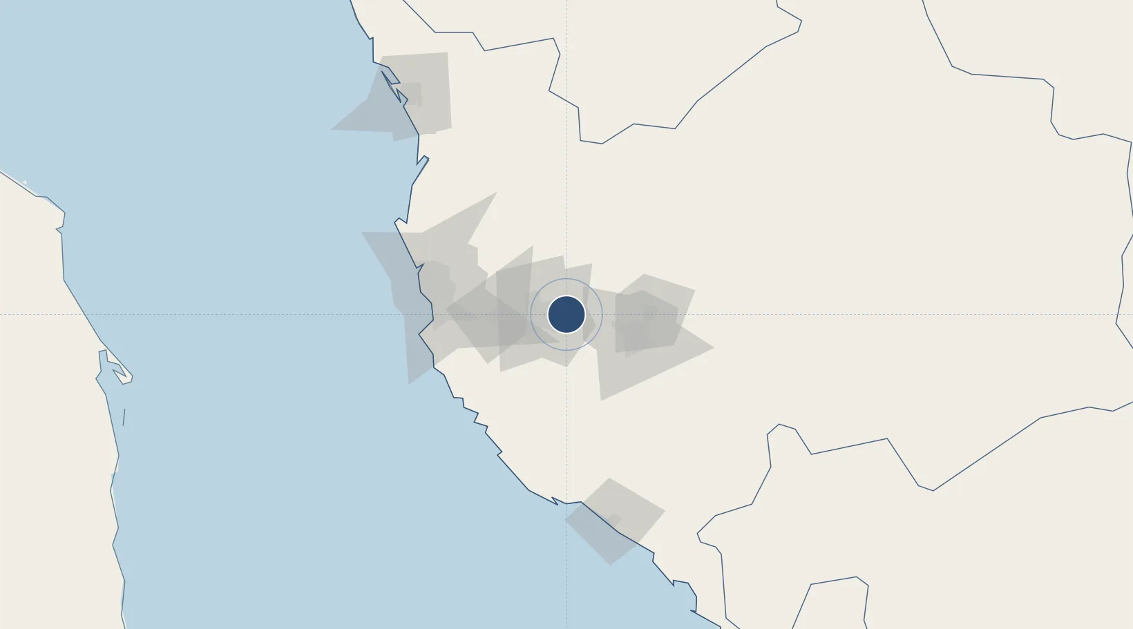
21.4375°, 39.9942°
7,865 ft
Longest runway
1
Runways
1,210 ft
Elevation

Runway & Layout

Mecca East Airport runway & taxiway layout
Runway & taxiway layout — OpenStreetMap (ODbL) / OurAirports

Runways · 1

RunwayDimensions SurfaceTrue headingLit
01/19 7,865 × 140ft Asphalt 012°
OurAirports

Airport Specifications

ICAO code
OE49
OurAirports
Airport class
Medium airport
OurAirports
Scheduled service
No
OurAirports
Runway surface
Asphalt
OurAirports
Served city
Mecca
OurAirports

Location

Location of OE49
Natural Earth 10m (public domain) · Makkah · OE49 · 21.44, 39.99GoogleOSMYandex

Nearby Logistics Neighbours

Airports
  1. 1Taif International Airport57 km
  2. 2King Faisal Naval Base86 km
  3. 3King Abdulaziz International Airport91 km
  4. 4King Saud Bin Abdulaziz (Al Baha) Airport213 km
  5. 5Bisha Airport317 km
Nearest neighbours — logibook spatial index (haversine) over the source coordinates
Cities
  1. 1Jeddah85 km
  2. 2Tusdeer Free Zone88 km
  3. 3Jeddah Yachts Club Port96 km
  4. 4Shuaibah97 km
  5. 5King Abdullah City147 km
Nearest neighbours — logibook spatial index (haversine) over the source coordinates
Ports
  1. 1Jiddah84 km
  2. 2Rabigh178 km
  3. 3Port Sudan353 km
  4. 4Yanbu355 km
  5. 5Sawakin Harbor376 km
Nearest neighbours — logibook spatial index (haversine) over the source coordinates
Trade Zones
  1. 1Makkah Industrial City22 km
  2. 2Jeddah Industrial City (Third)78 km
  3. 3Jeddah Industrial City (First)82 km
  4. 4Jeddah Industrial City (Second)86 km
  5. 5Jeddah Modon Oasis90 km
Nearest neighbours — logibook spatial index (haversine) over the source coordinates
DatabookThe Record of Consolidated Knowledge
Saudi Arabia beyond logistics?
Browse databook

All Sources

AirportsOurAirports
Public domain
Portsthe NGA World Port Index
Public domain (US gov)
LocationsUN/LOCODE
UN/LOCODE — free
Trade Zonesthe World Bank SEZ database
CC BY 4.0
Trade ZonesOpen Zone Map
CC BY
InfrastructureOpenStreetMap
ODbL 1.0
← Saudi Arabia airports