Special Economic Zone · Rwanda

Kigali Special Economic Zone Active
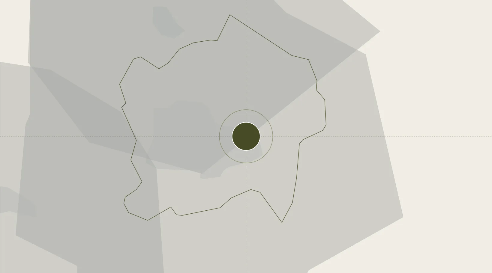
-1.9523°, 30.1581°
286 ha
Zone area
1,053.3 km
Nearest port
2.8 km
Nearest airport

Gateway access

Nearest neighbours — logibook spatial index (haversine) over the source coordinates

Zone profile

Zone type
Special Economic Zone
the World Bank SEZ database
Region
Kigali City
the World Bank SEZ database
Status
Active
the World Bank SEZ database
Established
2010
the World Bank SEZ database
Management
Private management
the World Bank SEZ database
Operator
Prime Economic Zones Limited
the World Bank SEZ database
Regulatory authority
Special Economic Zone Authority of Rwanda (SEZAR)
the World Bank SEZ database
Legal framework
Special Economic Zones Law of Rwanda
the World Bank SEZ database

Location

Location of RWA1
Natural Earth 10m (public domain) · Kigali City · RWA1 · -1.95, 30.16GoogleOSMYandex

Fiscal & incentives

Corporate tax
30%
the World Bank SEZ database
Tax relief
100% exempt
the World Bank SEZ database
Relief duration
Perpetual
the World Bank SEZ database
VAT
No exemption
the World Bank SEZ database
Import duty (inputs)
100% exempt
the World Bank SEZ database
Import duty (capex)
100% exempt
the World Bank SEZ database
Profit repatriation
100% exempt from repatriation tax on profits
the World Bank SEZ database
Capital gains
No exemption
the World Bank SEZ database
Withholding tax
100% exempt from tax on dividends
the World Bank SEZ database
Min. investment
None
the World Bank SEZ database
Min. export
80%
the World Bank SEZ database
Employment incentive
No exemption
the World Bank SEZ database
Developer incentive
No established framework
the World Bank SEZ database

Nearby Logistics Neighbours

Ports
  1. 1Tanga1053 km
  2. 2Mombasa1082 km
  3. 3Kilifi1094 km
  4. 4Zanzibar1105 km
  5. 5Malindi1117 km
Nearest neighbours — logibook spatial index (haversine) over the source coordinates
Airports
  1. 1Kigali International Airport3 km
  2. 2Kirundo Airport66 km
  3. 3Kisoro Airport89 km
  4. 4Gisenyi Airport105 km
  5. 5Goma International Airport107 km
Nearest neighbours — logibook spatial index (haversine) over the source coordinates
Cities
  1. 1Mutara42 km
  2. 2Nyagatare76 km
  3. 3Cibitoke177 km
  4. 4Kibondo192 km
  5. 5Kasulu291 km
Nearest neighbours — logibook spatial index (haversine) over the source coordinates
Trade Zones
  1. 1Kicukiro SME Park7 km
  2. 2Rwamagana Industrial Park12 km
  3. 3Bugesera Industrial Park22 km
  4. 4Musanze Industrial Park46 km
  5. 5Muhanga Industrial Park48 km
Nearest neighbours — logibook spatial index (haversine) over the source coordinates
DatabookThe Record of Consolidated Knowledge
Rwanda beyond logistics?
Browse databook

All Sources

Trade Zonesthe World Bank SEZ database
CC BY 4.0
Portsthe NGA World Port Index
Public domain (US gov)
AirportsOurAirports
Public domain
LocationsUN/LOCODE
UN/LOCODE — free
← Rwanda trade zones