Export Processing Zone · Rwanda

Rwamagana Industrial Park Under Development
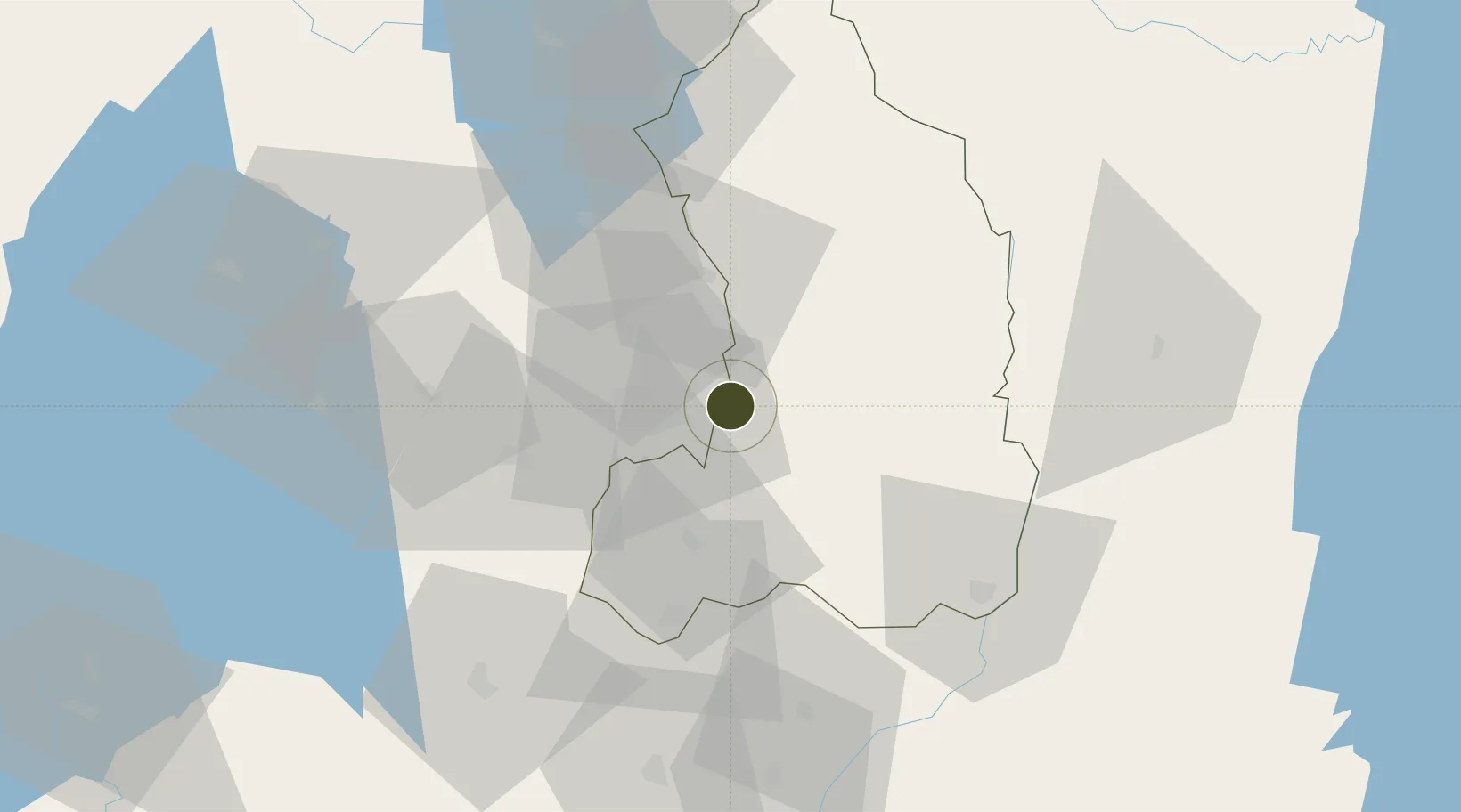
-1.9490°, 30.2627°
80 ha
Zone area
1,042.5 km
Nearest port
13.9 km
Nearest airport

Gateway access

Nearest neighbours — logibook spatial index (haversine) over the source coordinates

Zone profile

Zone type
Export Processing Zone
Open Zone Map
Region
Eastern
Open Zone Map
Status
Under Development
Open Zone Map
Management
Public
Open Zone Map
Operator
Ministry of Commerce and Industry-Government of Rwanda
Open Zone Map
Legal framework
Law No. 05/2011 of Regulating Special Economic Zones in Rwanda
Open Zone Map

Location

Location of ozm-4036
Natural Earth 10m (public domain) · Eastern · ozm-4036 · -1.95, 30.26GoogleOSMYandex

Nearby Logistics Neighbours

Ports
  1. 1Tanga1043 km
  2. 2Mombasa1070 km
  3. 3Kilifi1083 km
  4. 4Zanzibar1095 km
  5. 5Malindi1105 km
Nearest neighbours — logibook spatial index (haversine) over the source coordinates
Airports
  1. 1Kigali International Airport14 km
  2. 2Kirundo Airport69 km
  3. 3Kisoro Airport96 km
  4. 4Gisenyi Airport116 km
  5. 5Goma International Airport118 km
Nearest neighbours — logibook spatial index (haversine) over the source coordinates
Cities
  1. 1Mutara49 km
  2. 2Nyagatare74 km
  3. 3Cibitoke183 km
  4. 4Kibondo189 km
  5. 5Kasulu292 km
Nearest neighbours — logibook spatial index (haversine) over the source coordinates
Trade Zones
  1. 1Kigali Special Economic Zone12 km
  2. 2Kicukiro SME Park18 km
  3. 3Bugesera Industrial Park27 km
  4. 4Musanze Industrial Park57 km
  5. 5Muhanga Industrial Park59 km
Nearest neighbours — logibook spatial index (haversine) over the source coordinates
DatabookThe Record of Consolidated Knowledge
Rwanda beyond logistics?
Browse databook

All Sources

Trade ZonesOpen Zone Map
CC BY
Portsthe NGA World Port Index
Public domain (US gov)
AirportsOurAirports
Public domain
LocationsUN/LOCODE
UN/LOCODE — free
← Rwanda trade zones