UN/LOCODE hub · Philippines
PHTGO
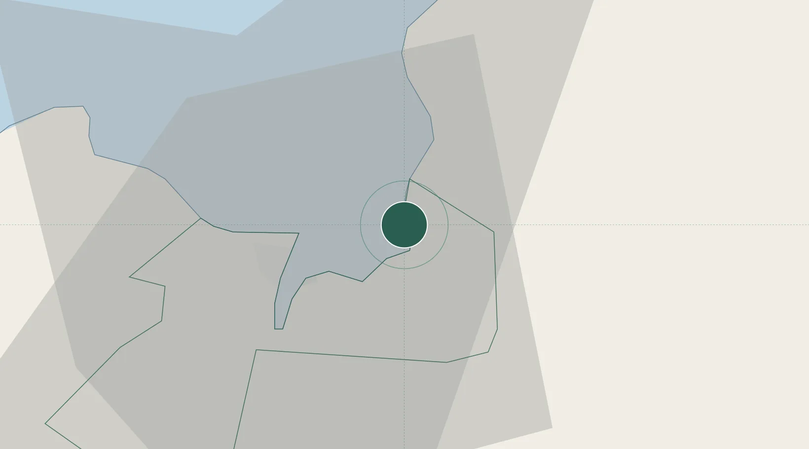
Tagoloan
8.5222°, 124.7483°
30,390
Population
2
Transport functions
1
Container terminals
Transport Functions
Port
Road
Hub Profile
Place type
District seat
Region
Northern Mindanao
Population
30,390
Time zone
Asia/Manila
Elevation
15 m
Logistics facilities
1
Container terminals
1
Location
Nearby Logistics Neighbours
Cities
- 1Cagayan de Oro, Mindanao3 km
- 2Jasaan14 km
- 3Opol20 km
- 4Balingasag26 km
- 5Mabini, Mindanao48 km
Ports
- 1Bugo1 km
- 2Villanueva7 km
- 3Cagayan De Oro9 km
- 4Gingoog52 km
- 5Iligan65 km
Airports
- 1Laguindingan International Airport34 km
- 2Camiguin Airport82 km
- 3Bancasi Airport93 km
- 4Labo Airport107 km
- 5Dipolog Airport155 km
DatabookThe Record of Consolidated Knowledge
Philippines beyond logistics?